
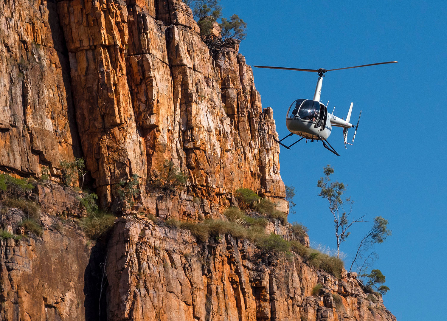
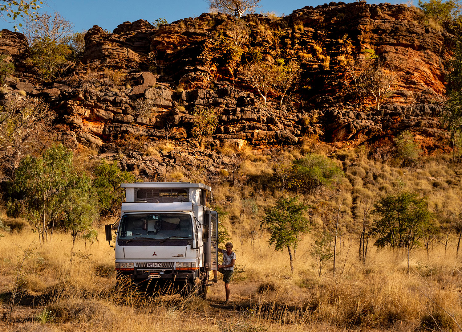
The drive from Kununurra to Derby can be done via a thousand kilometre stretch of sealed road through Turkey Creek, Halls Creek and Fitzroy Crossing. The other option is the Gibb River Road – seven hundred kilometres of dust and corrugations that link the bulk of the Kimberley cattle stations. This road also gives access to some incredibly beautiful gorges and waterholes and cuts through some of the most spectacular mountain ranges imaginable.

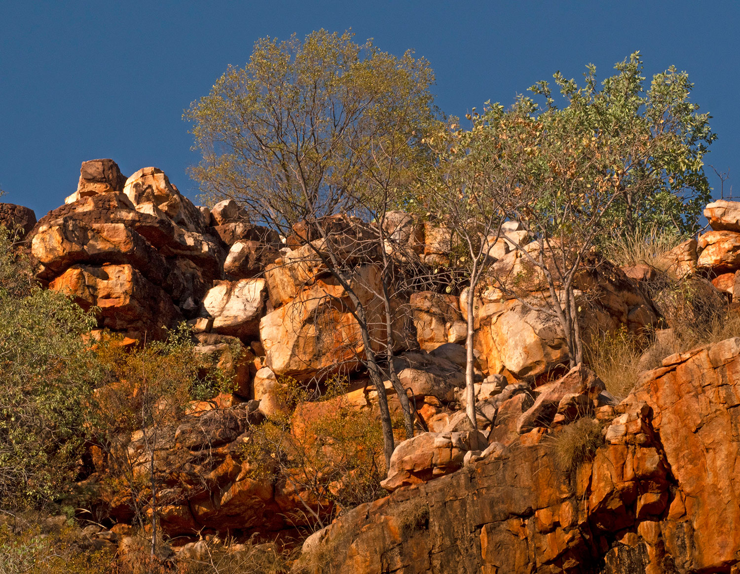
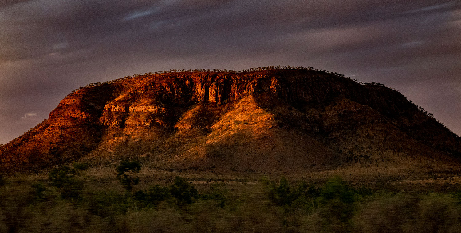
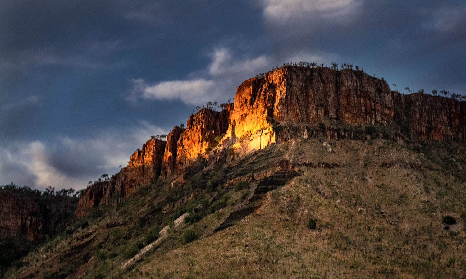
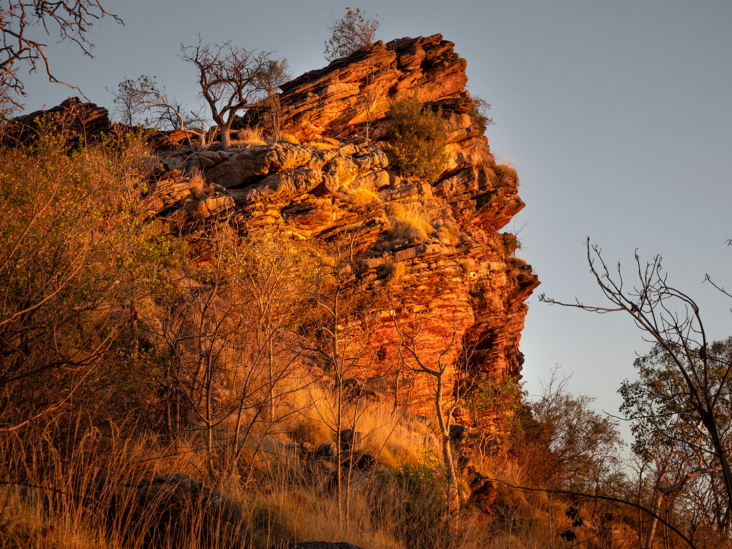
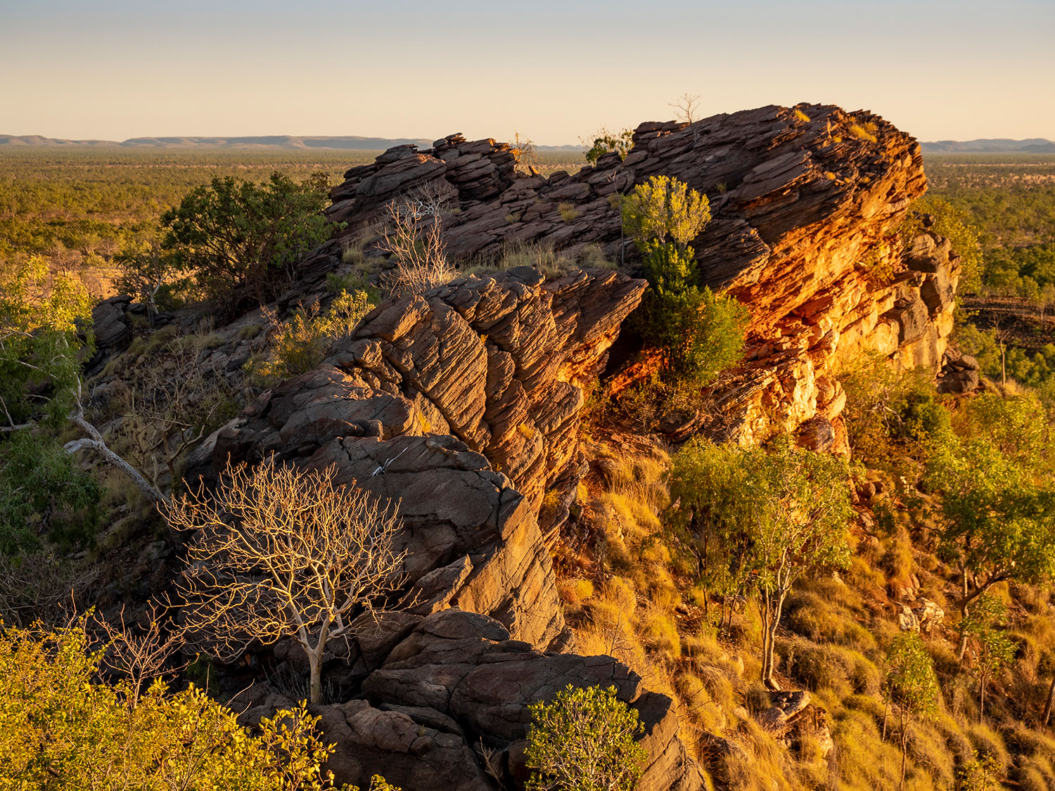
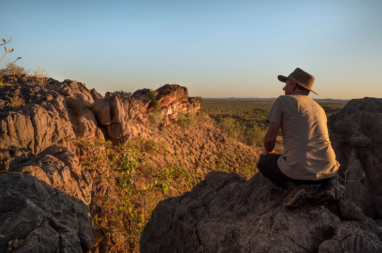
The spectacular Cockburn Range skirts the northern end of the Gibb River Road.

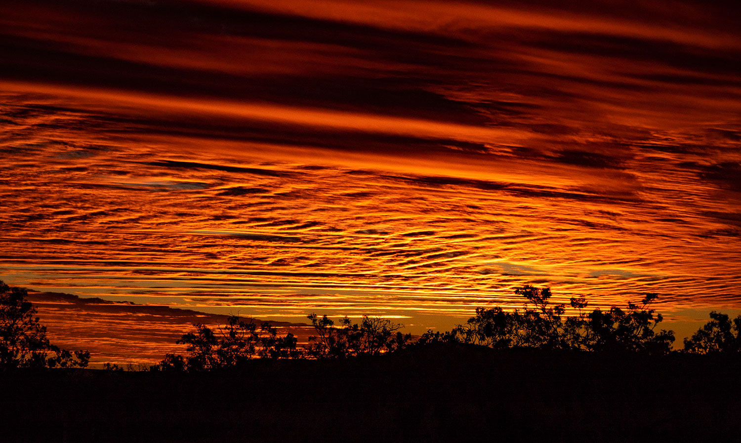
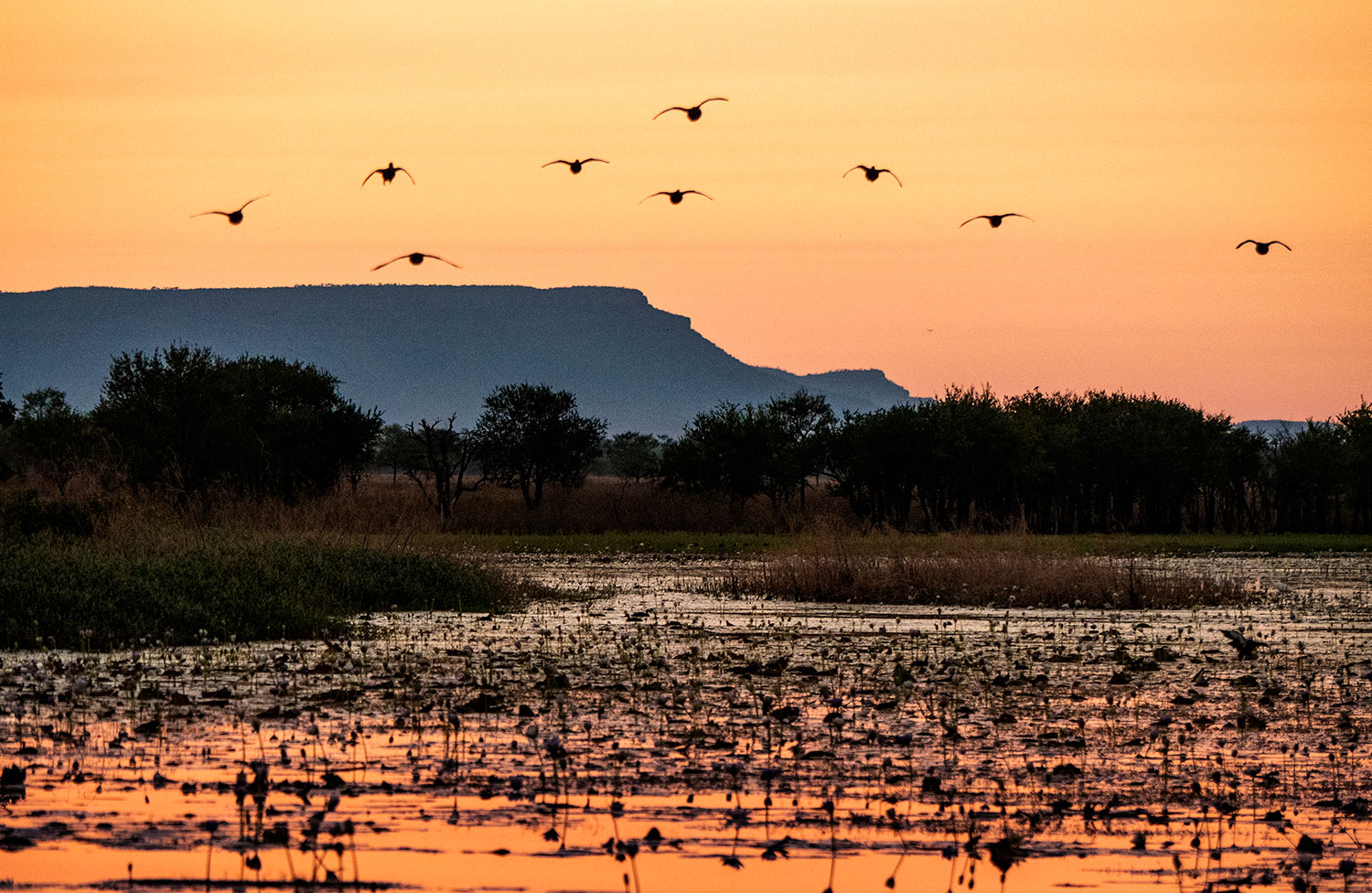
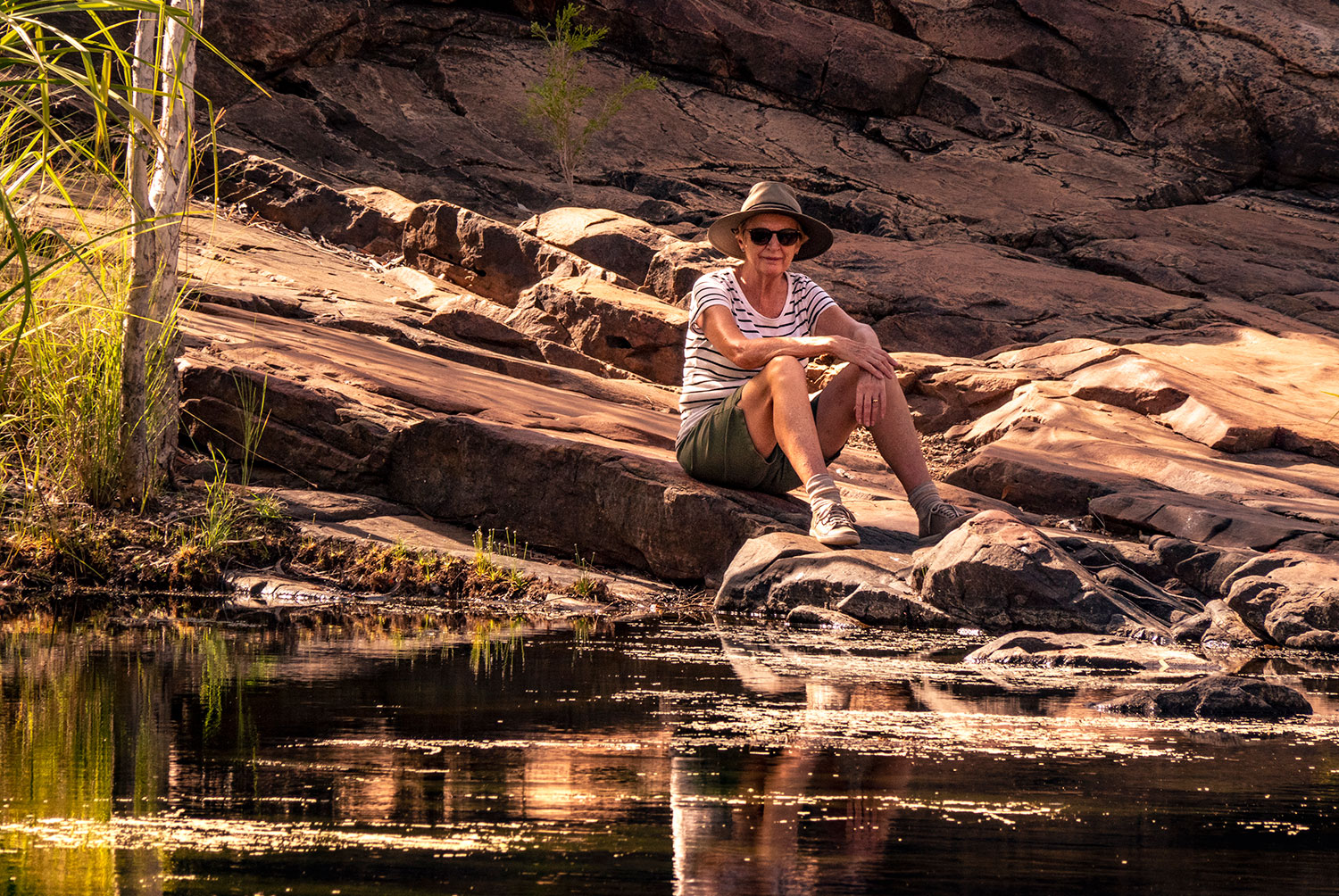
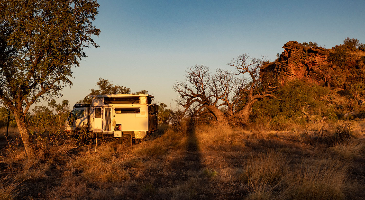
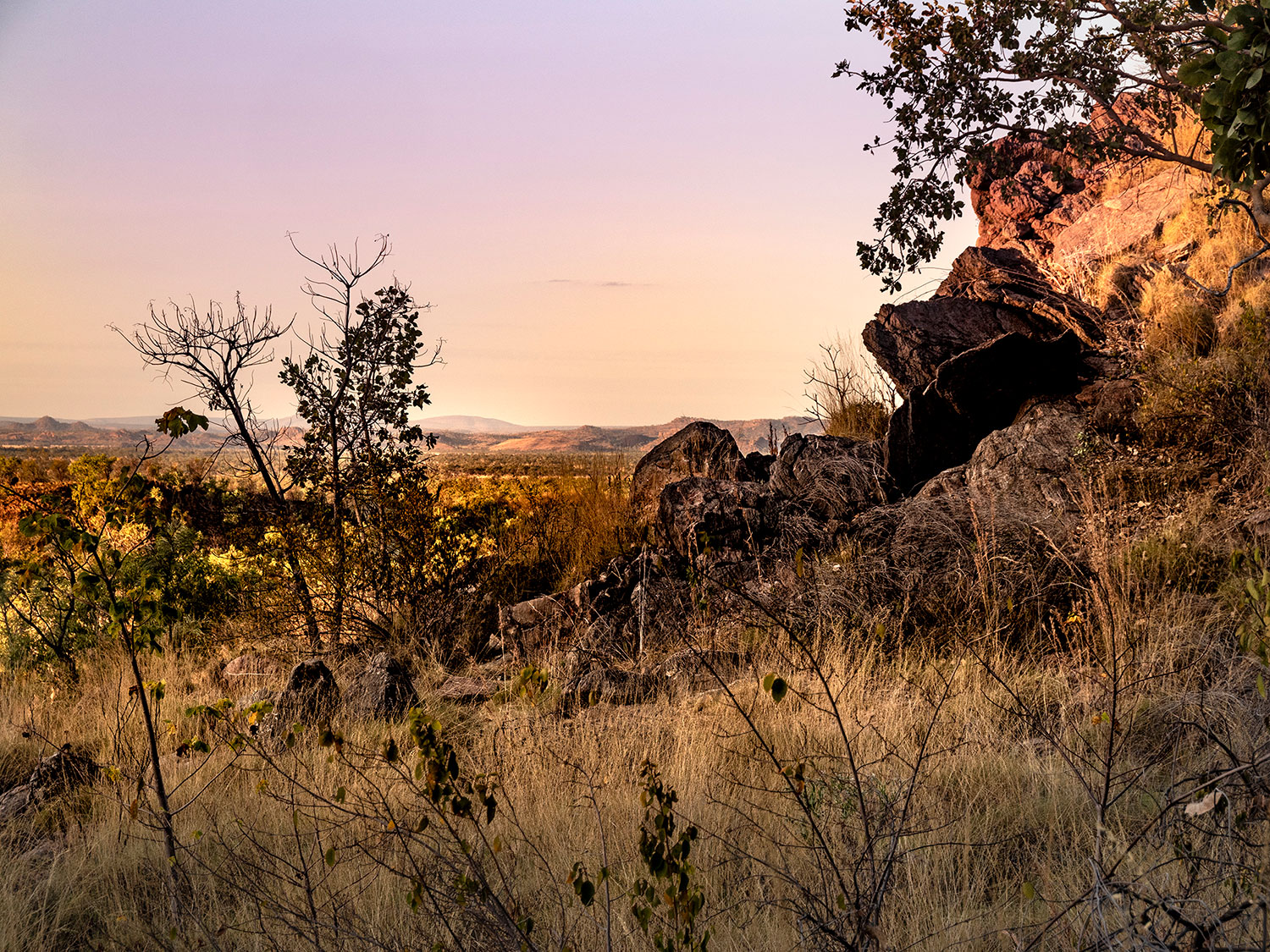
Catching the late afternoon sun in this area is something special.

The Pentecost River is the major river crossing along the Gibb River Road and the last to open after the wet. What appears to be a large white rock on the downstream side of the crossing is the roof of one of Home Valley’s Landcruisers.

View towards the coast across the floodplains of the Pentecost River.

Gibb River grader – no wonder the road is so rough!

The Durack River is another of the many river crossings. At the end of the dry season it is reduced to a string of picturesque waterholes.

Another victim of the corrugations. Heavy impact fractured the sidewall plies. Fortunately we spotted it before the tyre blew.

Half way along the Gibb River Road is Mt. Barnett Roadhouse. From here a track leads in to Manning Gorge. A great spot to camp, swim and walk.

Accessing the main Gorge requires swimming across the Manning Creek. White foam boxes are provided to transport clothes, cameras etc.


Manning Gorge is a large clear pool fed by a waterfall and surrounded by tall sandstone cliffs.
.

Galvans Gorge is another beautiful, clear waterhole surrounded by sandstone walls. Clean water and no crocodiles make it great place to dive in and cool off.

Wandjina paintings can be seen on the walls of the gorge.
.

Further down the Gibb River Road is the turn off to Adcock Gorge. We camped there 27 years ago and the area was strewn with rubbish. No surprise, the station owners have stopped people camping there now.

Deep, clear water – Adcock Gorge
.

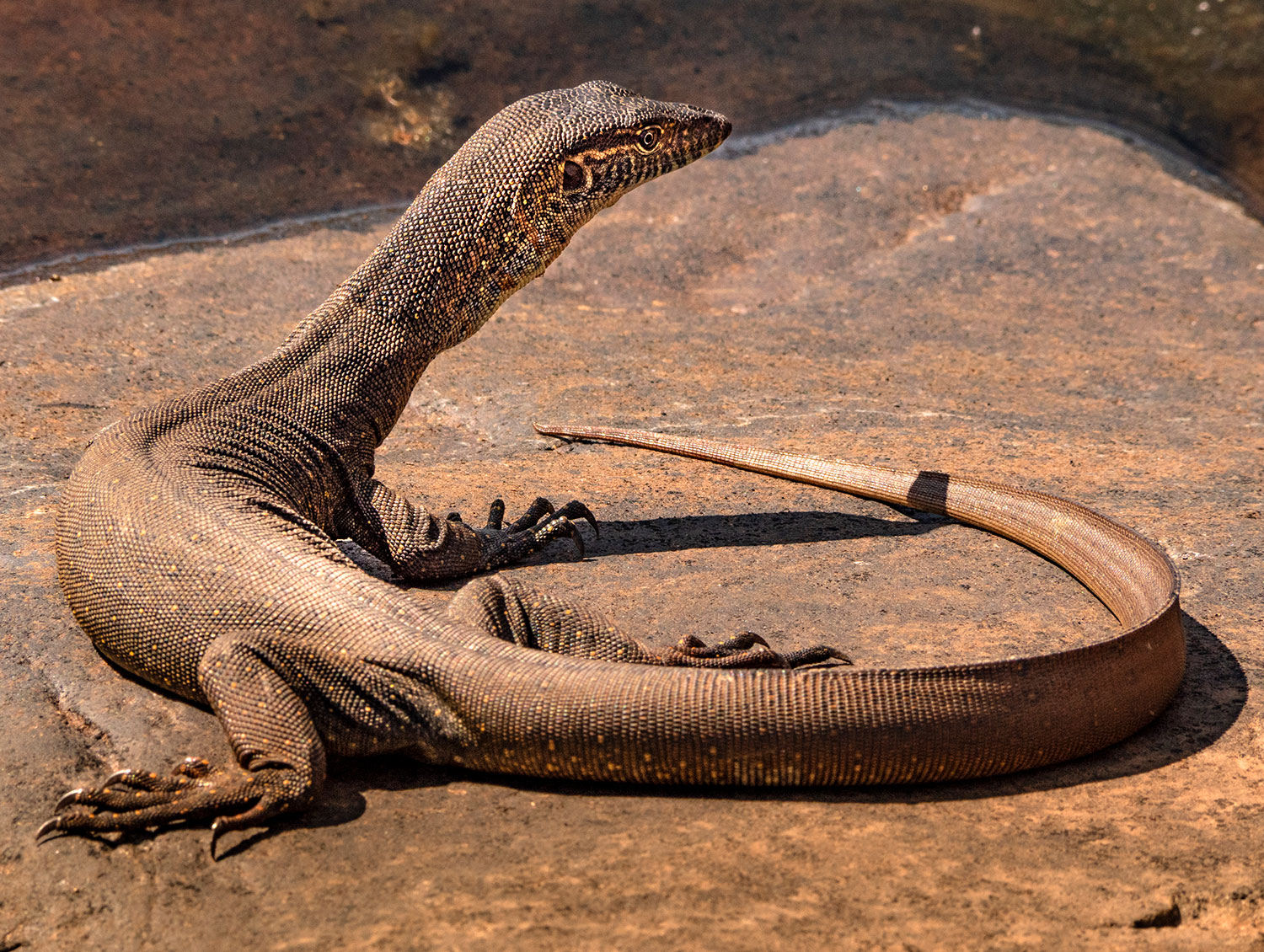
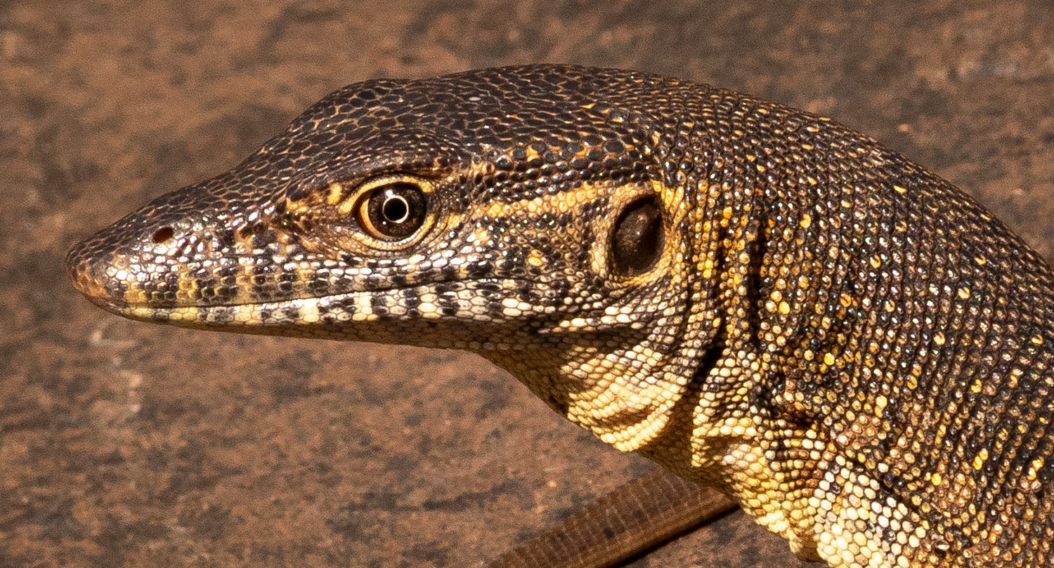
We found this old blue tongue trying to disguise himself as a rock on the road.

.
Towards the Southern end of the Gibb River Road is the King Leopold Ranges Conservation Park. There is good camping at Silent Grove and, further up the track, Bell Gorge.

The main pool and falls at Bell Gorge are reached by climbing over the escarpment and following markers down into the gorge.


Bell Gorge was one of the few gorges to still have a fair flow of water over the falls this late (September) in the dry.

The southern end of the Gibb River Road crosses the King Leopold Ranges before cutting through the Napier Range. Beyond the Napier Range is sealed road through to Derby, or turning left leads to Windjana Gorge

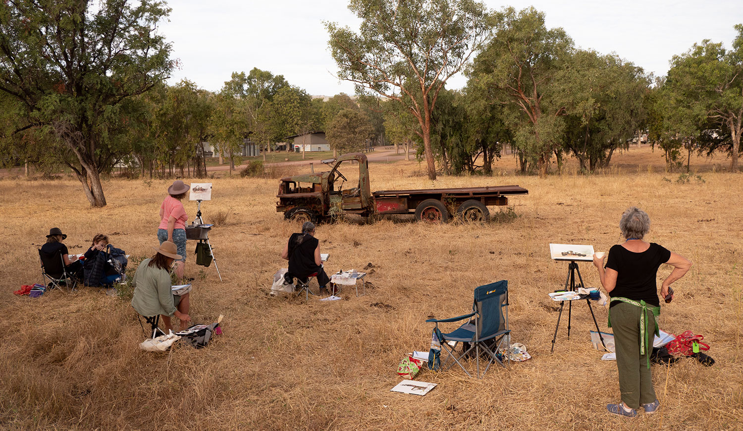
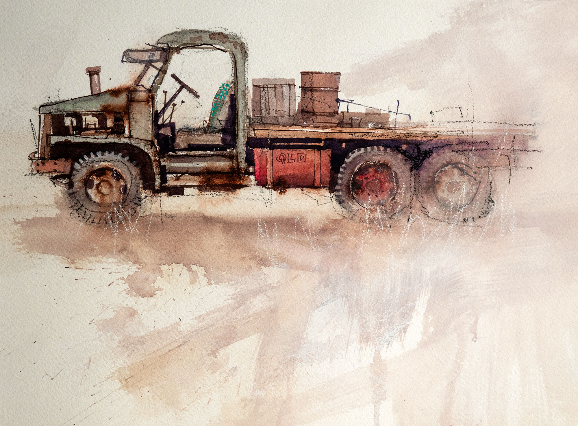


 An amazing place to paint and explore