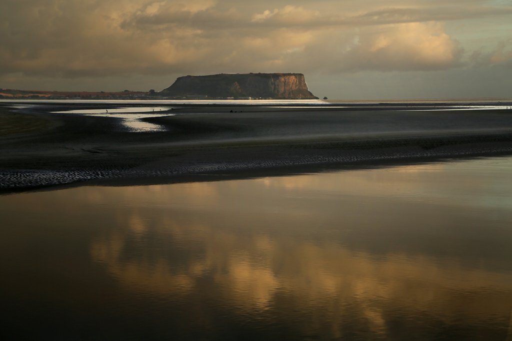
Our last week in Tasmania was spent along the north coast. We camped on the beach a few kilometres east of Stanley. What an amazing sight early in the morning as the sun came up.
We met Gus in Bothwell. He is from Bend in Oregon where we have conducted a couple of workshops with Art in The Mountains.
Gus came to Australia, got himself a 1956 Landrover and is in the process of taking it to all the extremities of the country. Cape Byron, Mt Kosciusko and the Southern tip of Tasmania have been ticked off the list so far. When he leaves Tassie, he’s off to Cape York via Shark Bay, WA. Good luck Gus!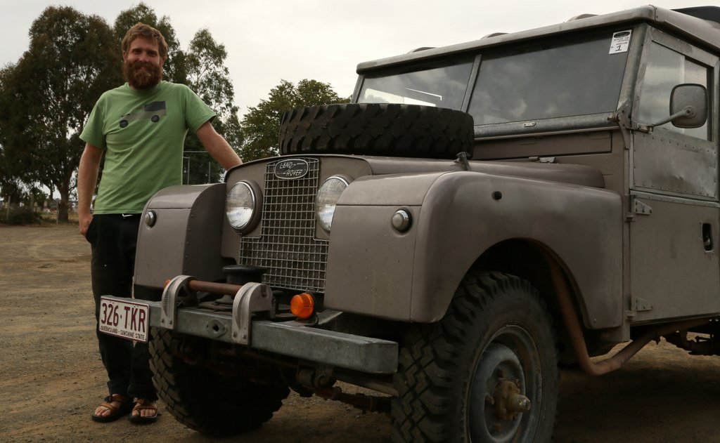
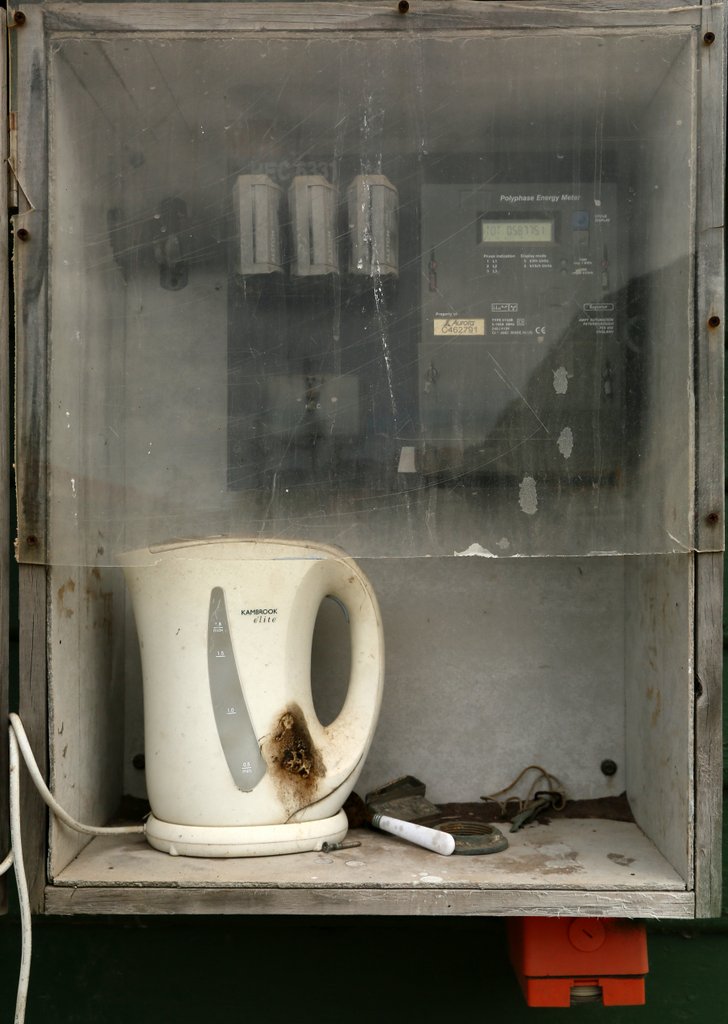
This outdoor kitchen seems to have escaped all the workplace health and safety restrictions. They did save a lot of space by installing it the electricity metre box.
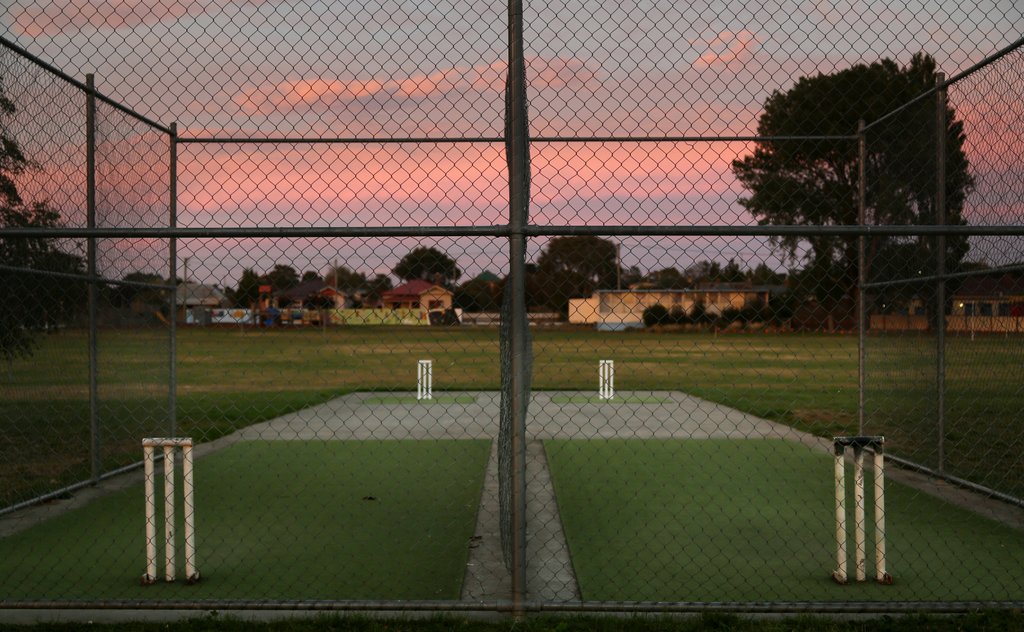
Oatlands cricket nets
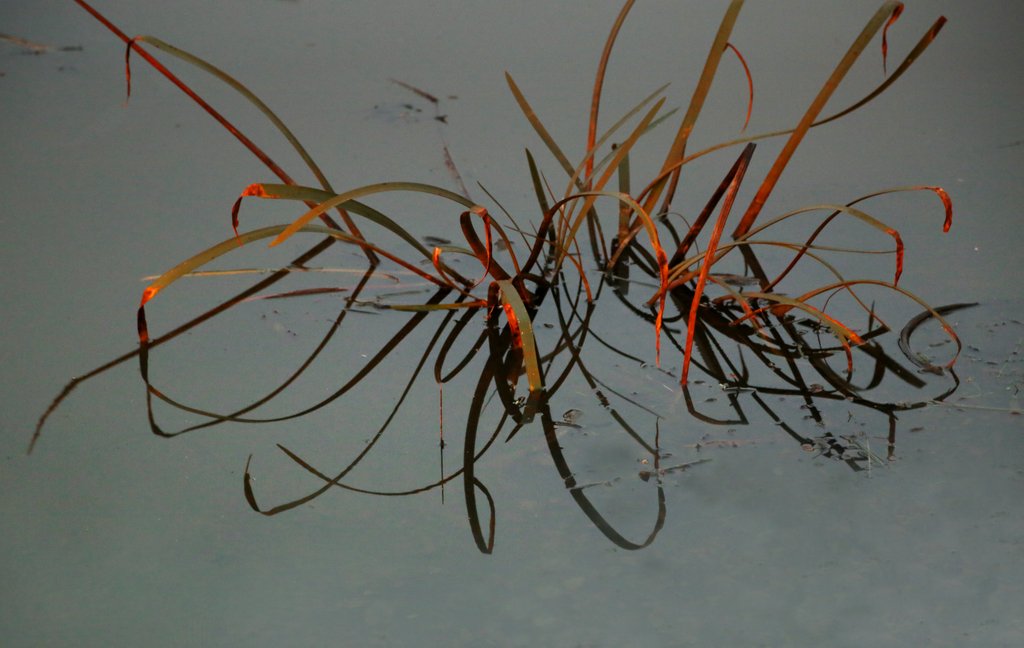
Sunrise Reeds
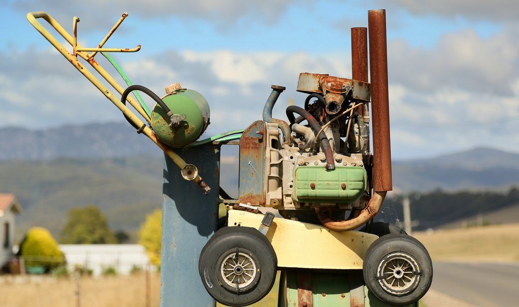
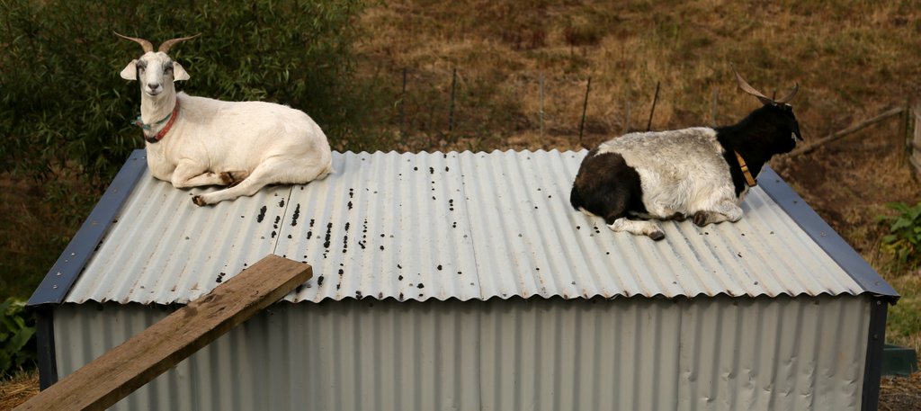
Tasmanian Lawnmower
Camped by the river in Ross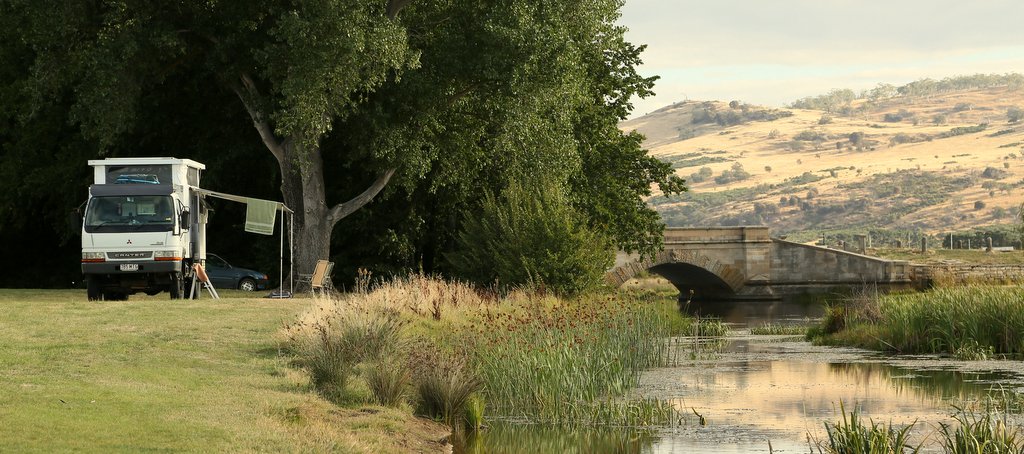
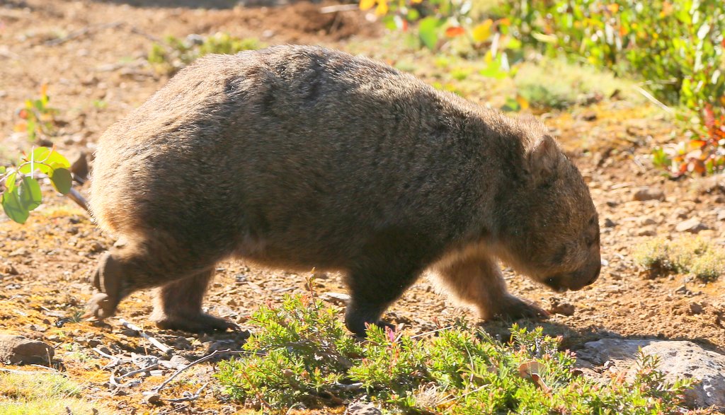
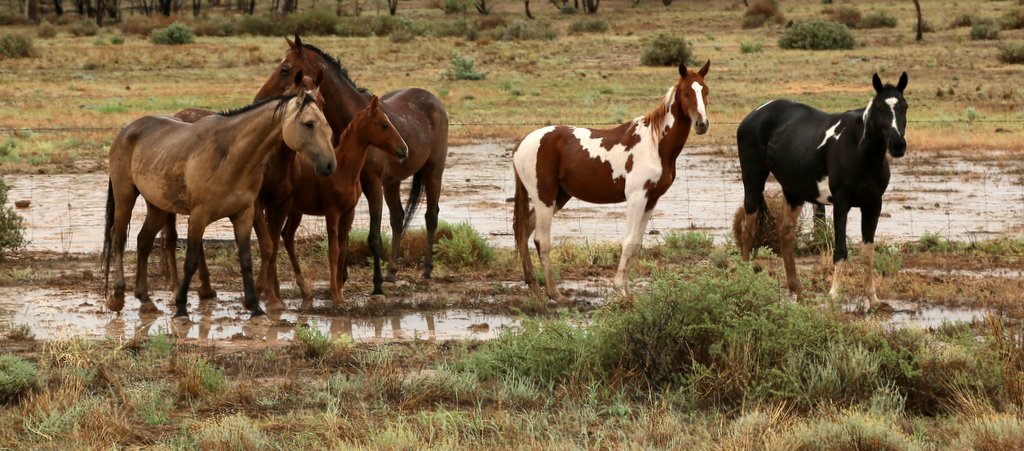
No matter how hard we looked, we couldn’t find a Thylacine, but we did stumble across these little critters in our search.


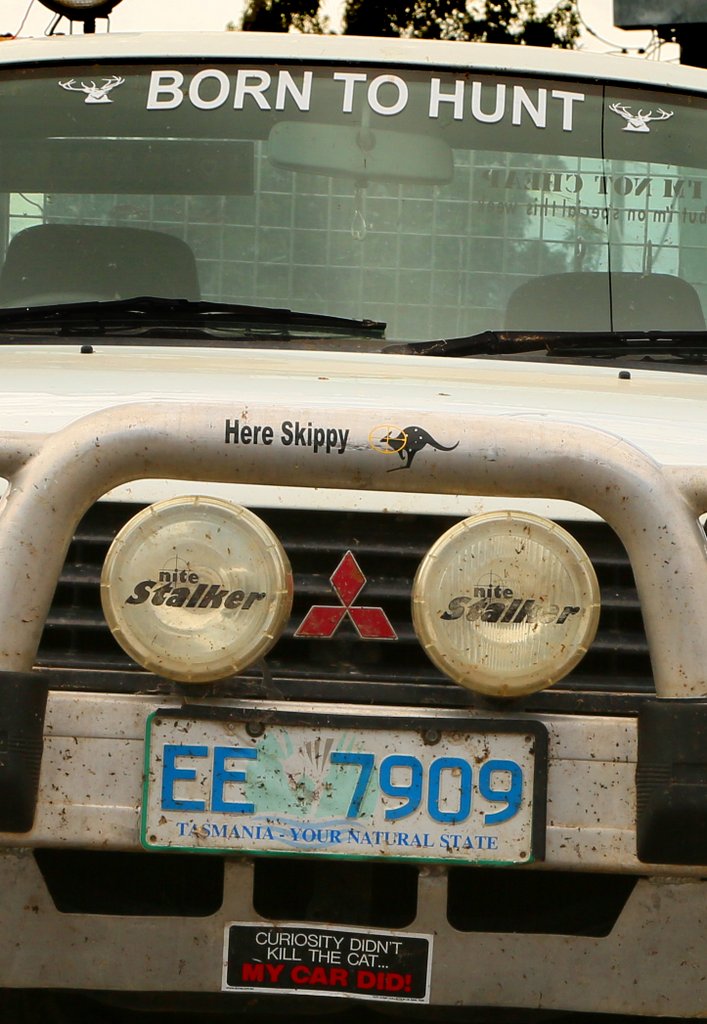
Shooting things is popular in some areas of Tasmania – maybe thats why we had such trouble finding a thylacine.
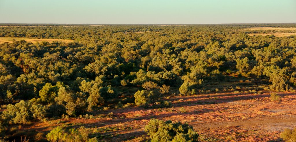
Back across Bass Straight, we spent a few days in Melbourne before heading home via the Hay Plains, One Tree Hotel and Bourke.
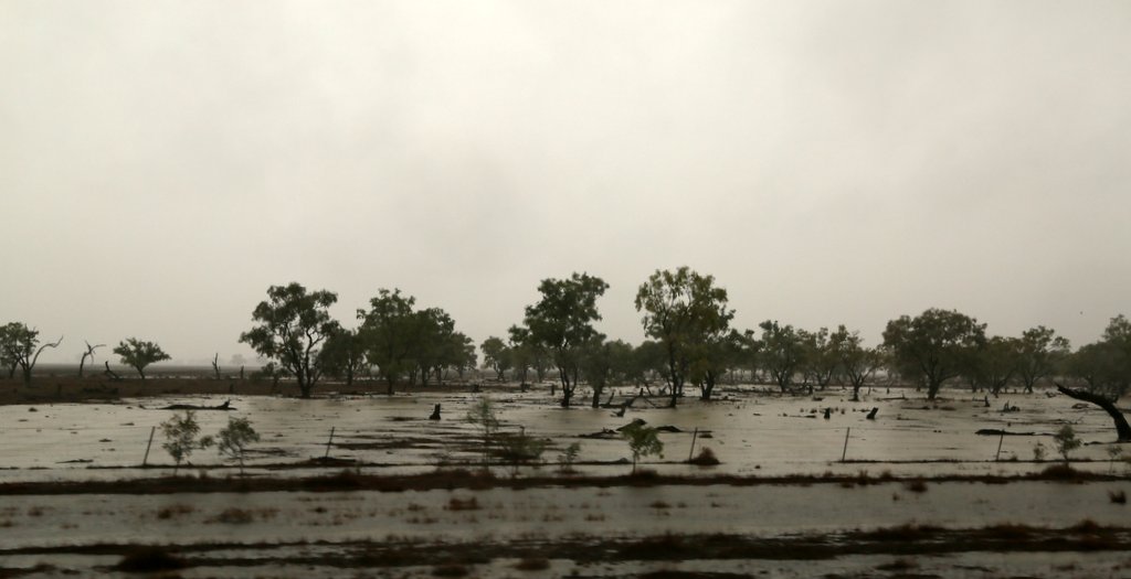
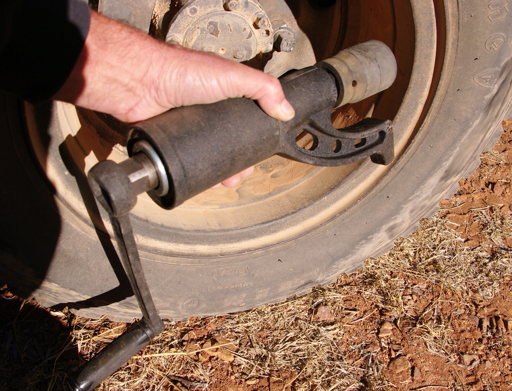
The weather turned foul north of One Tree. Pulling off the road quickly bogged us down to the axle. A shovel, frantic digging and a lot of encouragement and advice from the passenger window, soon saw us on our way

The further east we travelled the more saturated the country became. From Brewarrina home all unsealed roads were closed so it was a quick trip back along the bitumen.