HEADING EAST

After a week in the Eastern Macdonnells we wound our way slowly back to the Plenty Highway and east to Boulia. From Boulia we took the Kennedy Development Road back to Winton.  This road takes us through the old settlement of Hamilton – once an interesting pub, now a roadside stop with remnants of the old settlement.

Hamilton 2012

Hamilton 1988

The roadside stop even has a shower – with cold and cold running water!

Remains of the old Hamilton stock yards.

This old windmill still pumps water up from underground to supply the shower.

Middleton Pub is further along the Kennedy Development Rd towards Winton. It has gone through a few changes over the years. The photo above is 2012 and the shot below is how it looked when we stopped there back  in 1982.

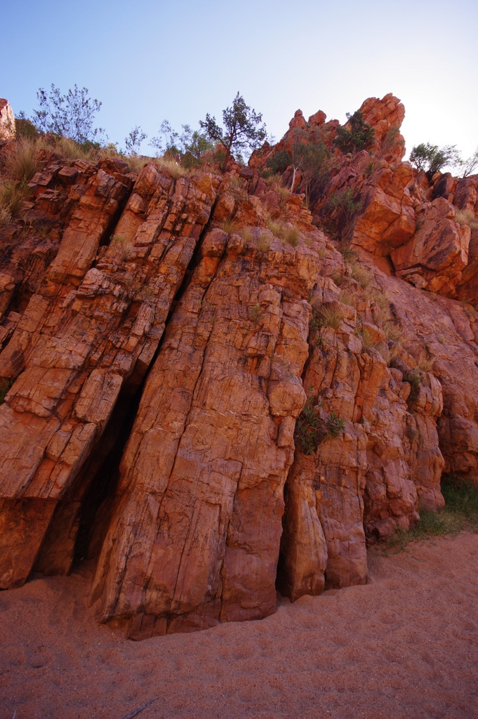
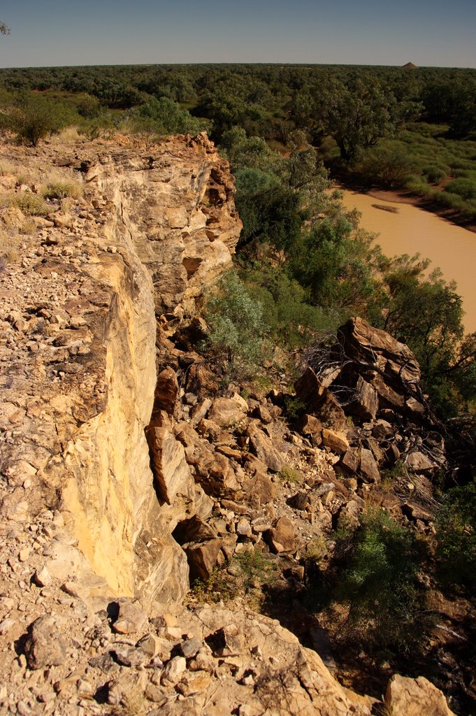
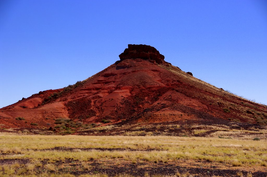
Between Hamilton and Middleton are the Lilleyvale Hills – a spectacular range of jump ups protruding from the flat landscape

We found this wet teddy bear, overcome by the grandeur of it all, head buried in the sand.

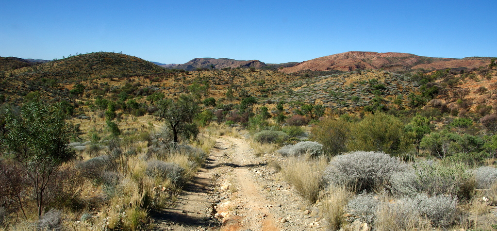
The Cawnpore lookout provides a great panorama of the hills.

The Kennedy Development Road is normally a 360km single lane strip of bitumen connecting Boulia and Winton. Unfortunately about 20kms approaching Winton had been dug up to be resurfaced. This would have been OK except heavy rain had turned the detour into impassable bog.

There were two road trains bogged in the mud and two more, each loaded with 120 ton of cattle, stopped on the edge of the formed road. The drivers told us the road had been closed so we camped the night on the road behind them. (Big fines for driving on closed roads.)  In the middle of the night another truck arrived and tried to drive around us, only to slide down, bogged in the side drain. Next morning road workers arrived with a grader to pull the road trains through.

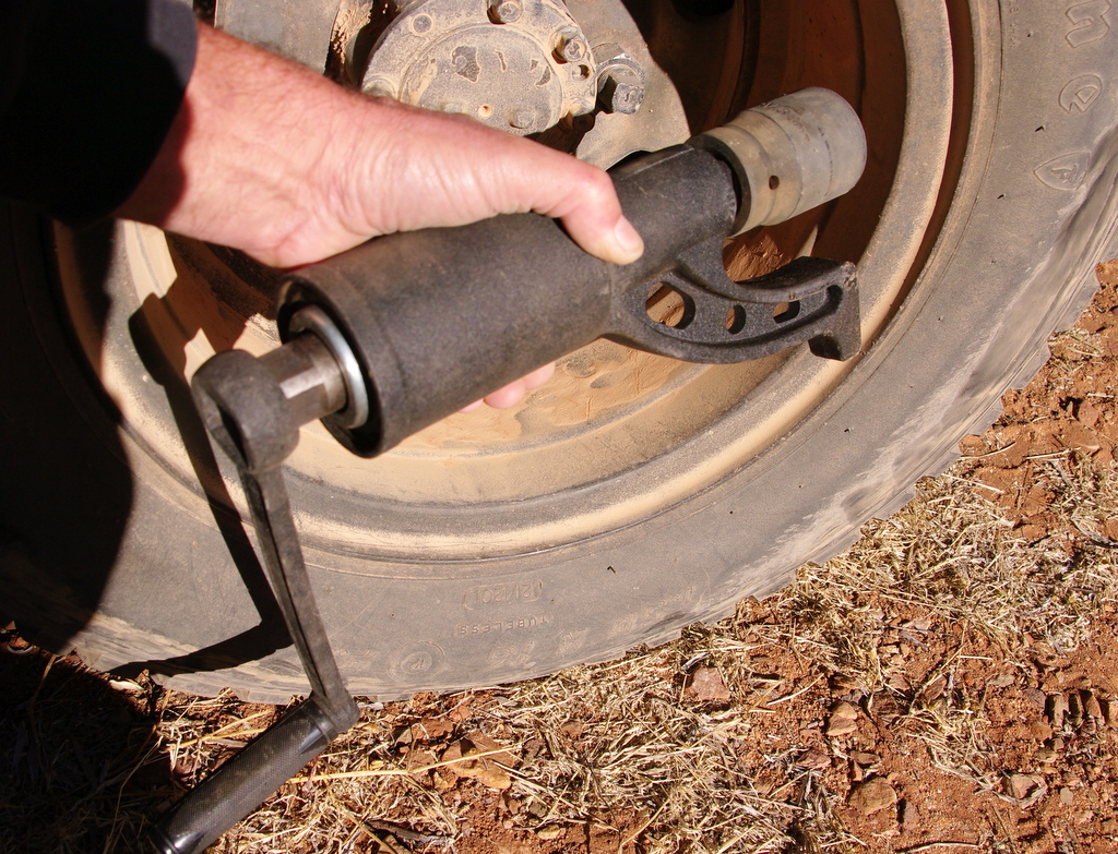
We managed to churn our way through in front of the grader. Once in Winton we headed for the wash down hose at the saleyards to remove what looked like half a tone of thick sticky mud form under the truck.

By the time we reached Winton rain had set in so we headed for home

EASTERN MACDONNELLS

Our plan was to buy fuel at Gemtree at the end of the Plenty Highway then head directly down into the Eastern Macdonnell Ranges via the cattle water pass. Unfortunately, Gemtree was out of diesel so we had to continue on to Alice Springs then head out to the Eastern Macdonnells.

Our first stop was Emily Gap – a small gorge and waterhole cutting through the range. The Aboriginal rock art here is unusual and very spectacular.

WINT7665


WINT7668

Down the end of a rough track are the John Hayes Rock Holes. We were lucky to be the only ones camped here, so enjoyed a quiet walk over the ridge and down through the chain of rock pools. The rough track means this area is much quieter than nearby Trephina Gorge

Traveling to the eastern extremity of the Macdonnells you come to Ruby Gap. The track for the last 40 km is pretty slow going at around 3 hours, but Ruby Gap and the walk up to Glen Annie Gorge make the trek worth while.

WINT7813

Ruby Gap

We managed to find a 4km detour on our way up to Glen Annie Gorge

Glen Annie Gorge

After a 12km walk,  mostly in soft river sand, we were happy to be heading back to our camp.

ACROSS THE PLENTY

From Mt Isa we drove south west to Urandangi, a pub, a couple of houses and a small aboriginal community near the Georgina River. The last time I visited Urandangi was 1988 and before that 1982. Not much has changed. The store has closed down and the pub now sells essential supplies. Trees have grown taller, the pub has changed hands and the fuel pumps are newer.

Urandangi 2012

Urandangi 1988

We called into the pub for a beer and to catch up on all the local news, then drove down to a waterhole on the Georgina. As I sat and watched it get dark on the waterhole I could hear a faint hiss. It turned out to be the inside dual wheel on the truck.

Next morning I got to try out this handy device I purchased from the Mining Expo in Mt Isa. A Torque Multiplier – guaranteed to remove the most impossible truck wheel nuts. It worked a treat.

WINT7693

After fitting the spare we headed back into Urandangi to use their compressor and mend the puncture.

A donkey and a small horse were entertained for ages watching me break the bead on this rusted rim.

Once the puncture was mended we headed down to Tobermorey station and across the Plenty Highway. The road was surprisingly good compared to the last time we used it. A few big patches of bull dust and corrugations, but mostly fairly smooth. Parts of the road appeared to have been recently graded. Our last trip across this road was after a dozen road trains had beaten it to a strip of rock and pulverized bull dust that could swallow a car.

Along the road the landscape varies from big plains of Mitchell Grass to tortured looking rocky outcrops and gibber plains

Approaching Harts Range, the size of the mountains increase and they take on the typical Central Australian pinks and purples.

Plains Turkeys are fairly common along the road. They walk slowly with their heads in the air and stand about 750mm tall.

Cool Mornings – even with the sun shining.

DIAMANTINA

From Old Cork Station we headed down into the Diamantina basin. The Diamantina is a huge system of channels that gradually funnel down into a narrow cutting through a rocky escarpment.

WINT7344

The Basin is an amazing expanse of green in an otherwise dry landscape.

WINT7324

…this wedge of green cuts through the Diamantina Gates then winds through plains of Mitchell grass before eventually finding its way to Lake Eyre

Apart from sparsely scattered beef cattle, flies are the dominant form of life.

Lunch under a shady tree

WINT7320

The Diamantina landscape is dotted with interesting jump ups, clay pans and plains of Mitchell grass

This big Wedgetail could hardly get off the ground when we disturbed his feast of roadkill.

WINT7424

Crossing one of the many saltpans

Last light on the Diamantina

Diamantina mustering

Old Diamantina Bronco yards, slowly disintegrating in a dusty clay-pan

An ancient tractor with no rubber parts – not that comfortable, but you never have to mend a flat tyre.

OLD CORK STATION

About 120 km south of Winton, on the Diamantina River, are the ruins of Old Cork Station. It was first established in the 1870’s and served as the mail distribution point for the region before the town of Winton existed. It’s a sad sight to see what must have been an impressive sandstone building in such a remote area, slowly crumble into the dust. Unfortunately talk of saving and stablising the building have amounted to nothing. White ants, souvenir gatherers, government inertia and the weather have put an end to saving an impressive  piece of our history

Old Cork Waterhole is part of the Diamantina River. Supposedly full of Yellow Belly.

Scattered around the area are remnants of  old station life – broken plates and bottles, buttons,  nails, wire, even unused bullets.

If you remember the Redgum song, Diamantina Drover listen to this version by Christy Moore

WEST TO WINTON

With the Studio to Studio Exhibition finished and a couple of other commitments out of the way, it was time to load up the truck and head west. I have a two day workshop in Winton, and will be judging the 2012 John Villers Winton Art Award. The plan after that is to explore the Diamantina basin before winding our way up to Mt Isa for another two day workshop. If the night time temperatures are still above freezing in Alice Springs we will stock up in Mt. Isa and head to Alice via the Plenty Highway and Eastern Macdonalds.

We drove through some incredible storms between Longreach and Winton. After four years of good rain the country is weirdly green, the cattle are fat and plentiful and the station owners are smiling.

The wild west – Main street Winton

After the workshop we celebrated Sash’s birthday in fine style at the Tatts Hotel

Big moon rising over suburban Winton

Willie Mar’s Chinese market garden operated in Winton from 1923 until it fell victim to the 2000 flood.

Jessica and Craig , who organised the John Villers Art Exhibition and Workshop in Winton, took us out to the Rangelands Escarpment for drinks as the sun set. What an awsome sight.

Nick Caves story “The Proposition” was filmed here at Ranglands and on nearby Bladensburg National Park

WINT7136

We camped a night looking over Scammy’s Lookout – what a place to watch the sun go down – You can see all the way to India.

From Scammy’s Lookout

Plenty of grass means plenty of kangaroos bouncing through the landscape.

WINT7250

After miles of nothing we stumbled across this water hole on our way down to the Diamantina.

At Larks Quarry an impressive building protects footprints made by stampeding dinosaurs 95 million years ago.

Strangely, the structure won a building award in 2004 but had to be closed in 2012 to demolish unstable rammed earth walls. We were lucky enough to arrive a couple of weeks after the building was re-opened (minus many of the rammed earth walls)