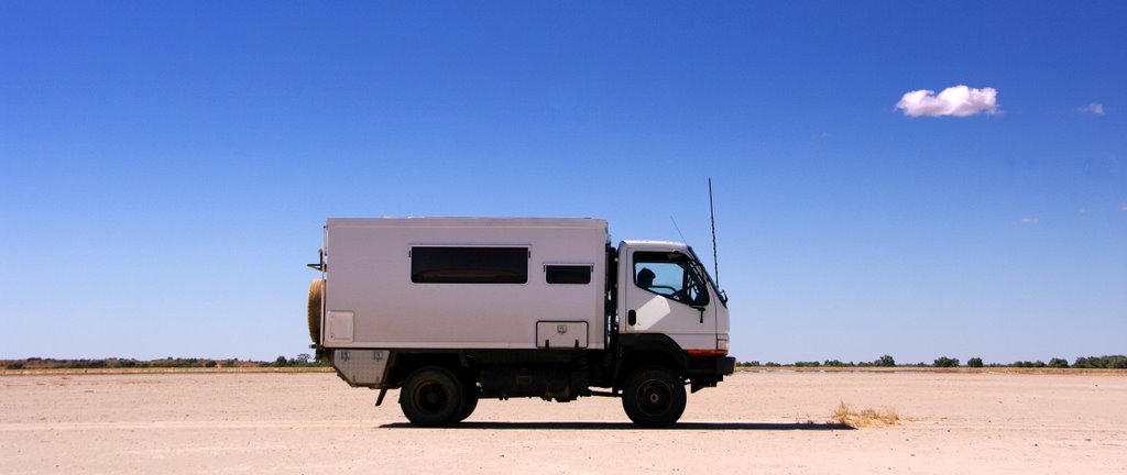
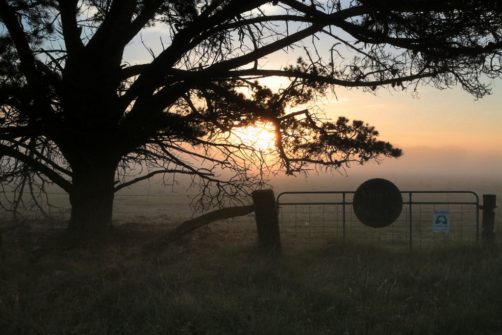
Our workshop in Maldon was a lot of fun. An enthusiastic group, fresh baked cakes and biscuits, brewed coffee, Pub down the road, what more could we ask for – and Julienne arranged for us to stay in the beautiful old miners cottage we enjoyed last time.

Maldon
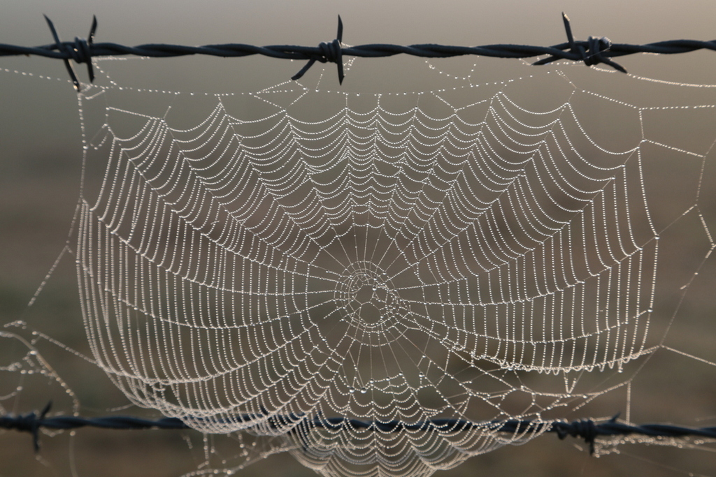
Morning cobweb
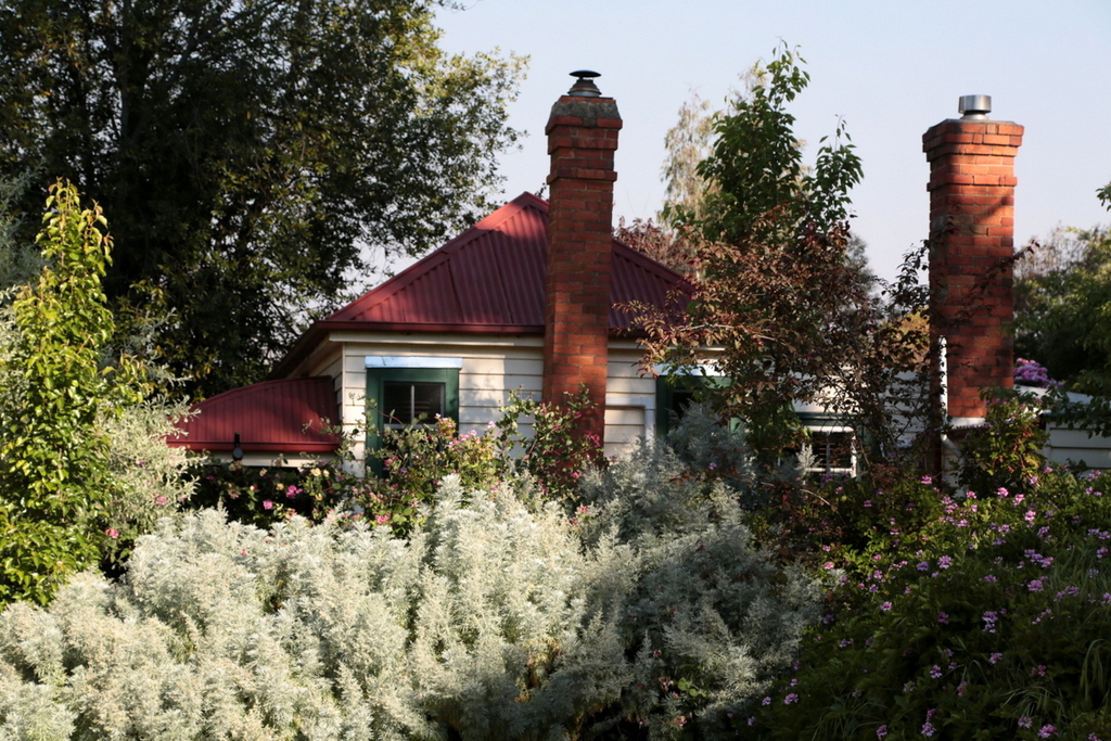
Miners Cottage
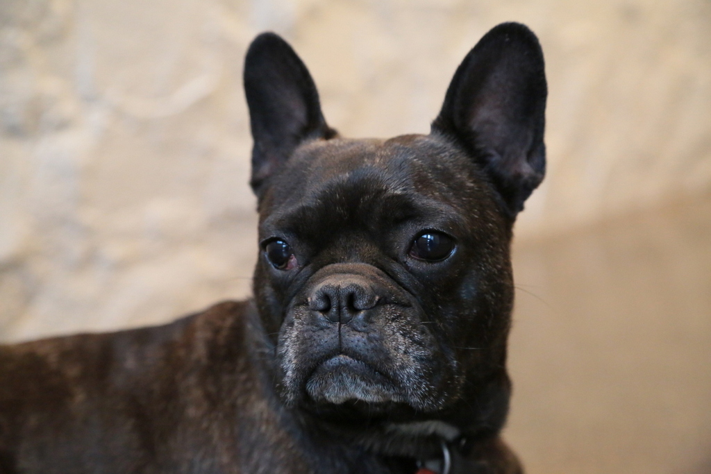
Lulu

Resident Chook#1

Resident Chook #2
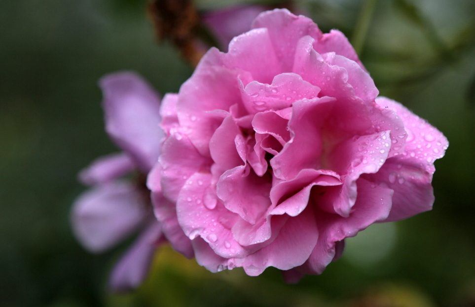
Garden Roses

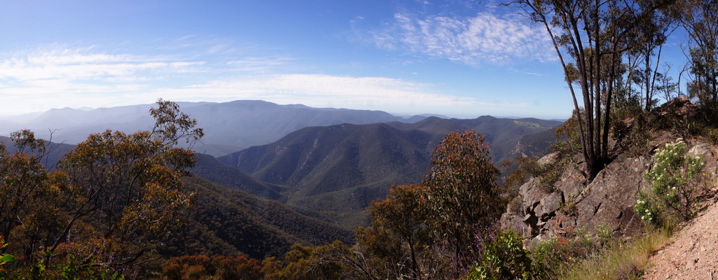
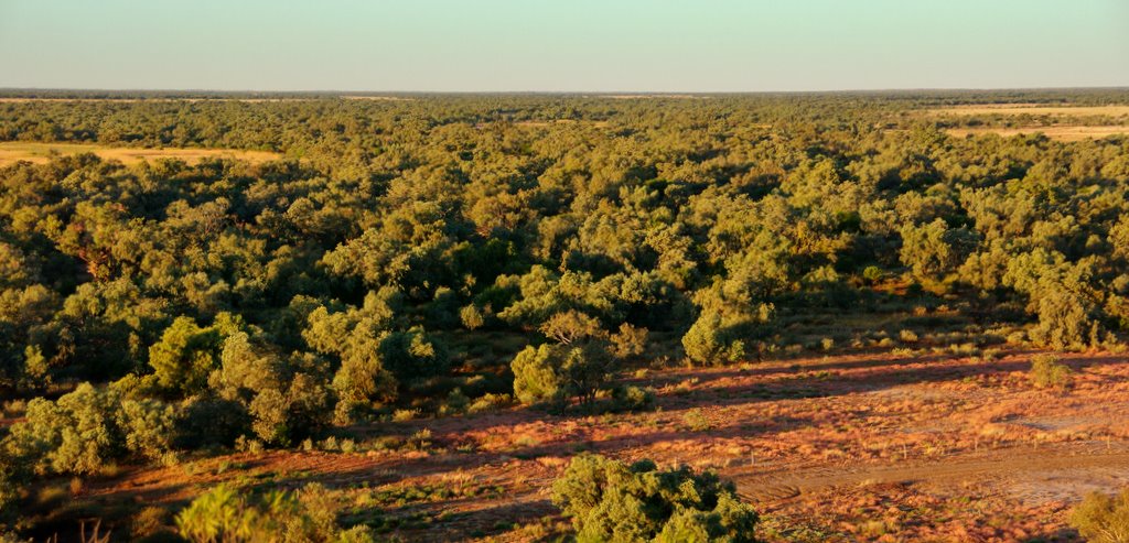
After leaving Maldon we headed up into the mountains. After almost an hours wait, a shaft of sunlight finally hit this hill in front of an amazing Indigo sky.

Same sky, different hill

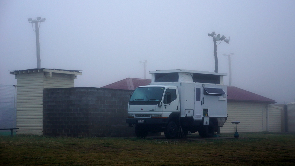
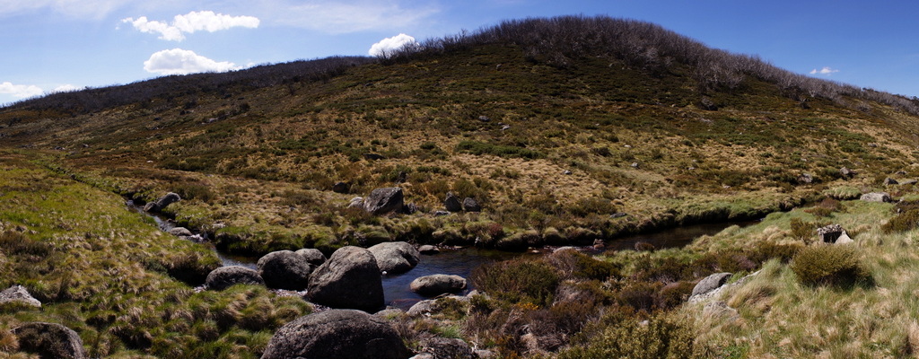
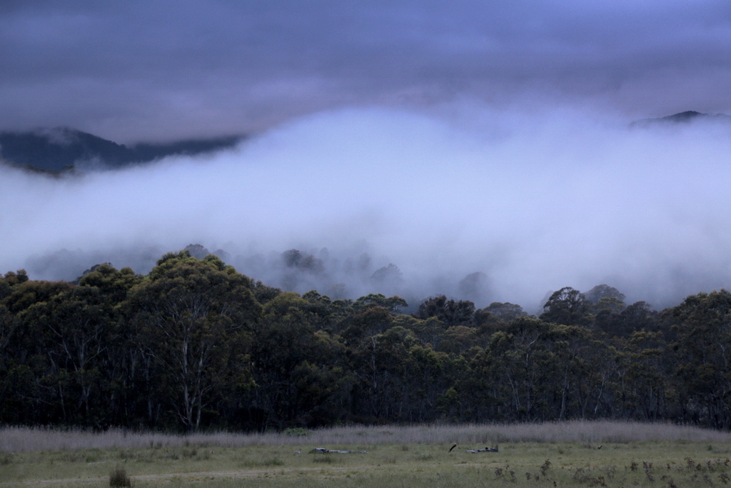
Once above Falls Creek the temperature dropped, fog rolled in and we were surrounded by snow – Unusual for November in Australia.


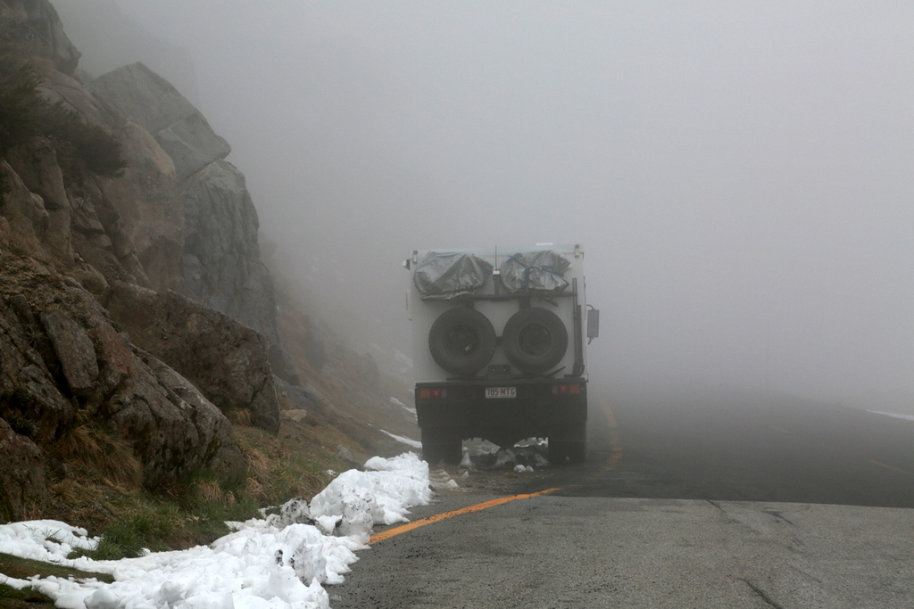
We intended to ride our bikes to the summit of Mt. Kosciuszko, but when we arrived at Charlottes Pass it was bitterly cold with rain and sleet – visibility was next to nil, so our plan was put on hold.

The fog and wet weather sure made the snow gums look spectacular.
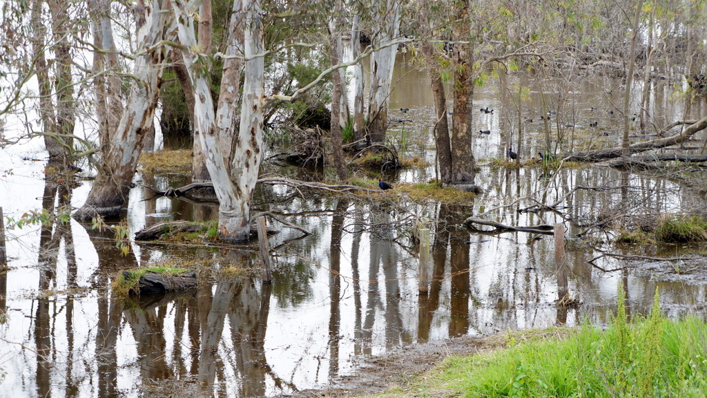
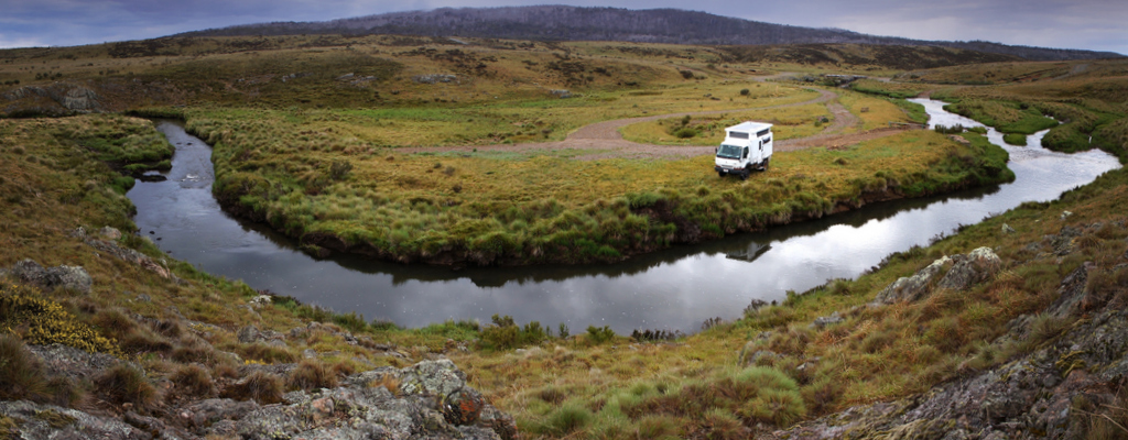
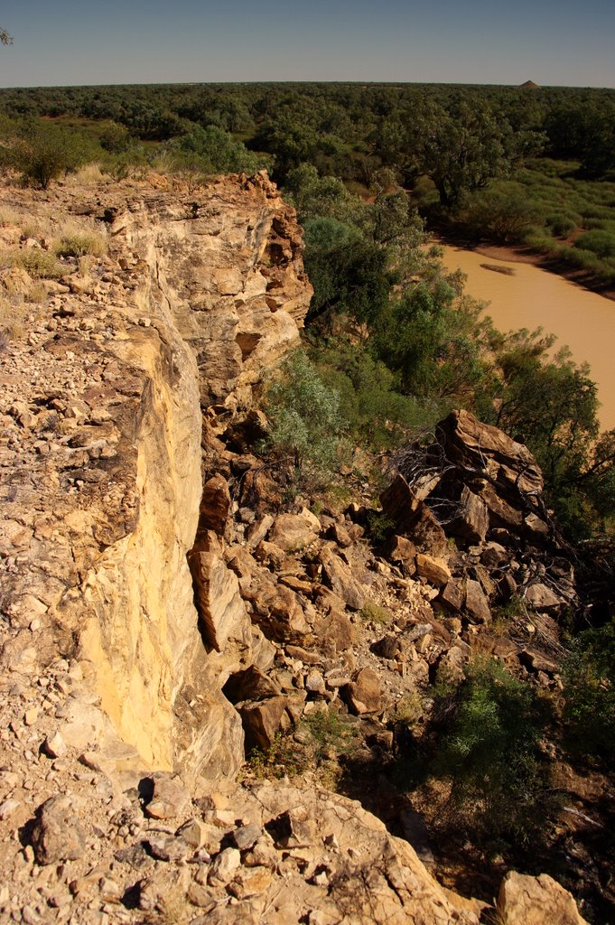
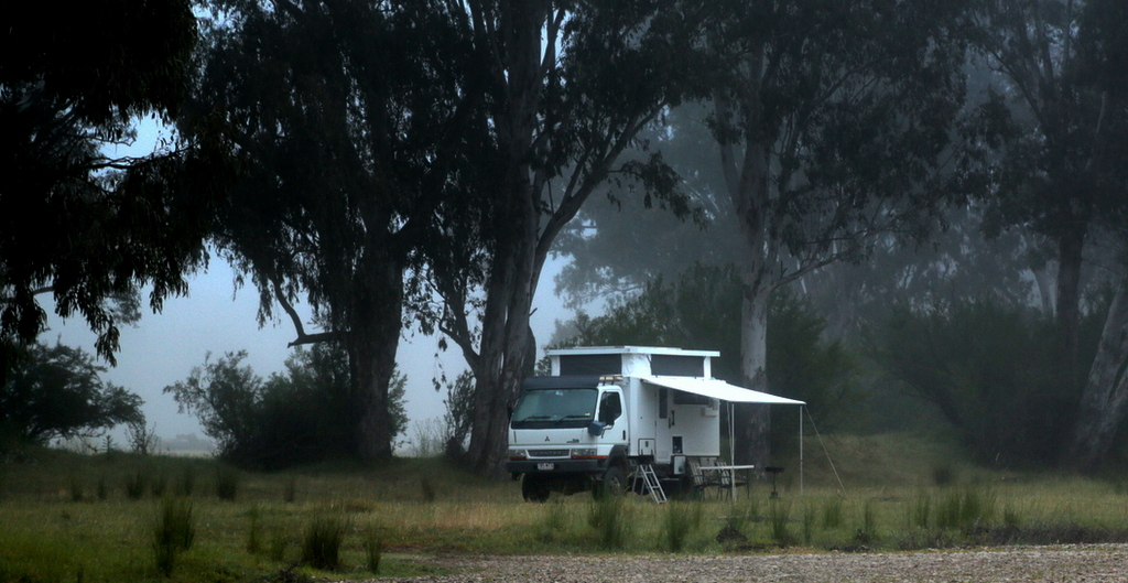 Leaving Charlottes Pass, we camped a night at Thredbo then on to the Murray River

Grass trees
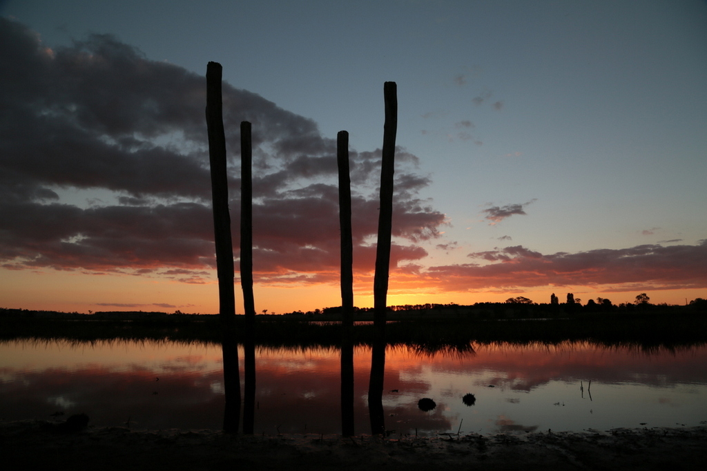
 Saw blade Sunrise
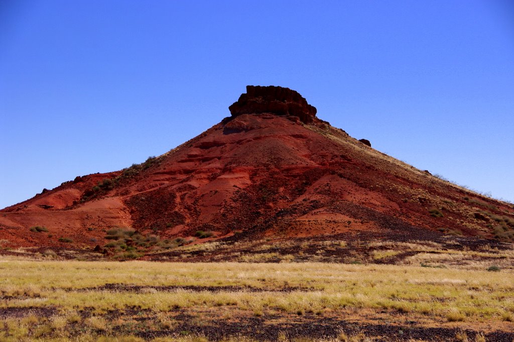
Further North, the clouds cleared and the temperature started to climb