MT MOFFAT & BLACKALL 2017

The Blackall workshops are always a lot of fun. We get to meet people from surrounding sheep and cattle stations and local Blackall residents in the first workshop then folks fly in or drive from all over the place for the second workshop.

This year we left a couple of weeks early so we could visit Mt Moffat on the way west. Mt Moffat is part of the Carnarvon National Park. It connects to the head of Carnarvon Creek at the western end of Carnarvon Gorge and extends south.

Similar eroded, pale sandstone to Carnarvon Gorge is found throughout the Mt Moffat section. Access is by 4WD – there are some deeply rutted tracks, sandy sections and steep climbs up onto the plateau.


There are interesting sandstone formations and many escarpments and rock faces with aboriginal art work.


Confusing sign if you don’t read English!


We camped at Dargonelly Rock Hole. It was the only water source in the area, so animal and birdlife was pretty spectacular particularly early morning and late afternoon.


On top of the plateau the view stretched out in all directions. The plateau is over 1200 meters above sea level – the highest plateau in Queensland. We drove up to the head of Carnarvon Creek, where the track winds through a forest of giant Mahogany trees.


Small slab hut on the road into Mt. Moffat


We were lucky enough to arrive in Blackall the night six musicians, all from different countries, were performing at the Living Arts Center where we were staying. It was amazing how well such a diverse group of musicians could all blend perfectly into music from any of the six countries. It was great to meet these musicians and hear their stories.


Old River Gum late afternoon – Tambo


We had a couple of days between the two Blackall workshops, so drove out to Yaraka – the last town on the railway line before it closed down in the 1990’s. Below is the small settlement of Emmet along the same defunct railway line.


Lost Chev – Yaraka


Sunset on Mt Slowcombe near Yaraka


I love visiting the Blackall wool scour. It closed down years ago but has been kept in running condition as a tourist attraction. It looks like something from a horror movie. Everything is belt driven, powered by a steam engine. Over a kilometre of leather belts keep everything moving. With all this mechanical movement there is barely a sound – it is all so well built and maintained.


Heading home we passed the Roma sale yards where one of the weekly cattle sales were in progress. It’s an amazing event. Road trains arrive from near and far, cattle are unloaded, auctions take place then cattle are re loaded and delivered to the successful bidders. The auctioneers speak their own language at a speed only understandable by those in colored shirts and big hats. It really is a spectacle.

CENTRAL AUSTRALIA WORKSHOP

A couple of weeks before Winter is the perfect time to be in Central Australia. The days are warm and sunny, the nights are still mild and the chance of rain is close to zero.

We flew to Alice Springs via Sydney which took us across the top of the Simpson Desert. It is amazing how big and empty it looks from 11000 meters.© John Lovett 2017


We also crossed the Birdsville and Strzelecki tracks that we drove down last year

© John Lovett 2017


Flying over the MacDonnall Ranges shows just how ancient and distorted the landscape is in that part of the country.

© John Lovett 2017

When we arrived in Alice Springs we met our Bus driver Natalie and her awesome big Mercedes Bush Bus. She was passionate and enthusiastic, showing us all there was to see around Alice Springs, the Western MacDonnalls and Uluru Katajuta.

© John Lovett 2017

Our first stop was Glen Helen Lodge. We based ourselves there and visited the gorges of the West MacDonnall Ranges. A great spot with fantastic food and a view from our cabin door to die for.

© John Lovett 2017

Late afternoon Glen Helen

© John Lovett 2017

Piano with boots

© John Lovett 2017

I took  a helicopter ride over the Glen Helen Gorge/ Ormiston Pound. These ranges sure are impressive from the air.

© John Lovett 2017

© John Lovett 2017

© John Lovett 2017


Ringneck Parrot

© John Lovett 2017


Ellery Creek Big hole

© John Lovett 2017 © John Lovett 2017

© John Lovett 2017

© John Lovett 2017

© John Lovett 2017

© John Lovett 2017


Painting at Ormiston Gorge

© John Lovett 2017


Ochre Pits

© John Lovett 2017


Standley Chasm

© John Lovett 2017


We were lucky enough to be at Uluru for the annual camel races. The traditional Calcutta is held at the pub the night before race day. Lots of excitement and some hefty prices paid for these racing dromedaries.

© John Lovett 2017

The races were wild and crazy – Camels seem to have limbs all over the place when they run…  © John Lovett 2017

…handsome animals though!

© John Lovett 2017  © John Lovett 2017 © John Lovett 2017


The day following the races we spent the morning painting at the camel farm. Some of these animals looked to be suffering severe, post race,  hangovers.

© John Lovett 2017

© John Lovett 2017

© John Lovett 2017

Enter a caption

Sturt’s Desert Pea       © John Lovett 2017


Mutitjulu Waterhole

© John Lovett 2017

© John Lovett 2017


Walking through Bruce Munro’s Field of Lights installation was disorienting and fantastic

© John Lovett 2017© John Lovett 2017


Shallow water in Lake Amadeus.

© John Lovett 2017


Herons at Glen Helen  © John Lovett 2017

HIGH COUNTRY

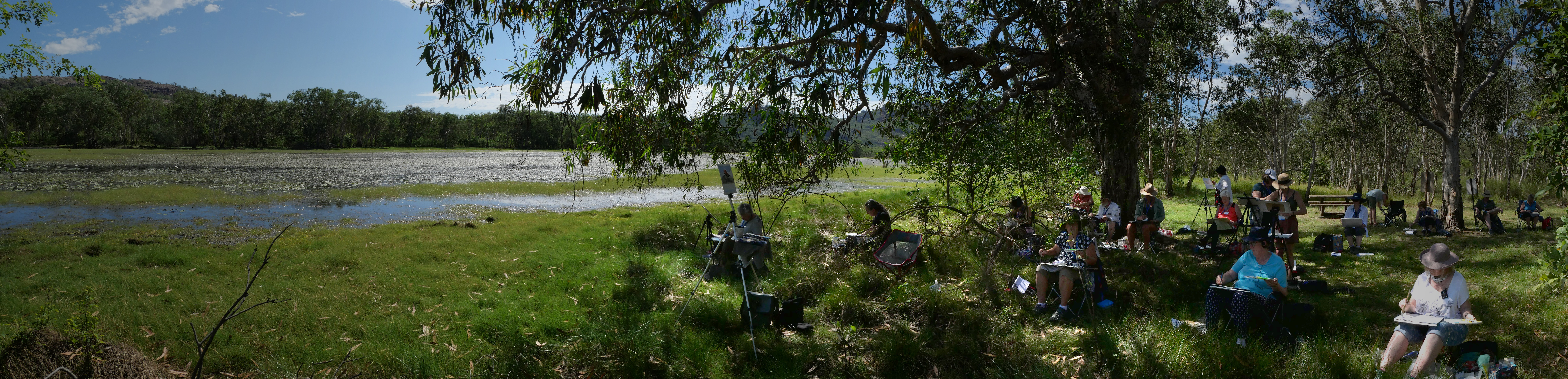
Sometimes things just fall into place. Soon after agreeing to a workshop with the ASOC in Canberra, I received an email inviting me to a Canberra High School reunion – 5 days before the workshop.

Catching up with school friends from 45 years ago was amazing. Appearances had changed but personalities were just as they were way back then.

After the workshop and reunion we headed over the mountains west of Canberra and down to the high country and Kosciuszko National Park


snow8638

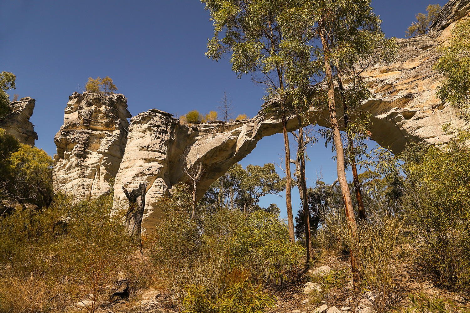
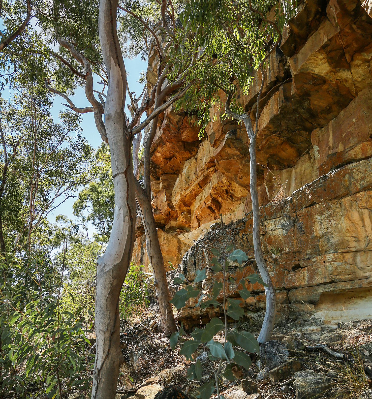
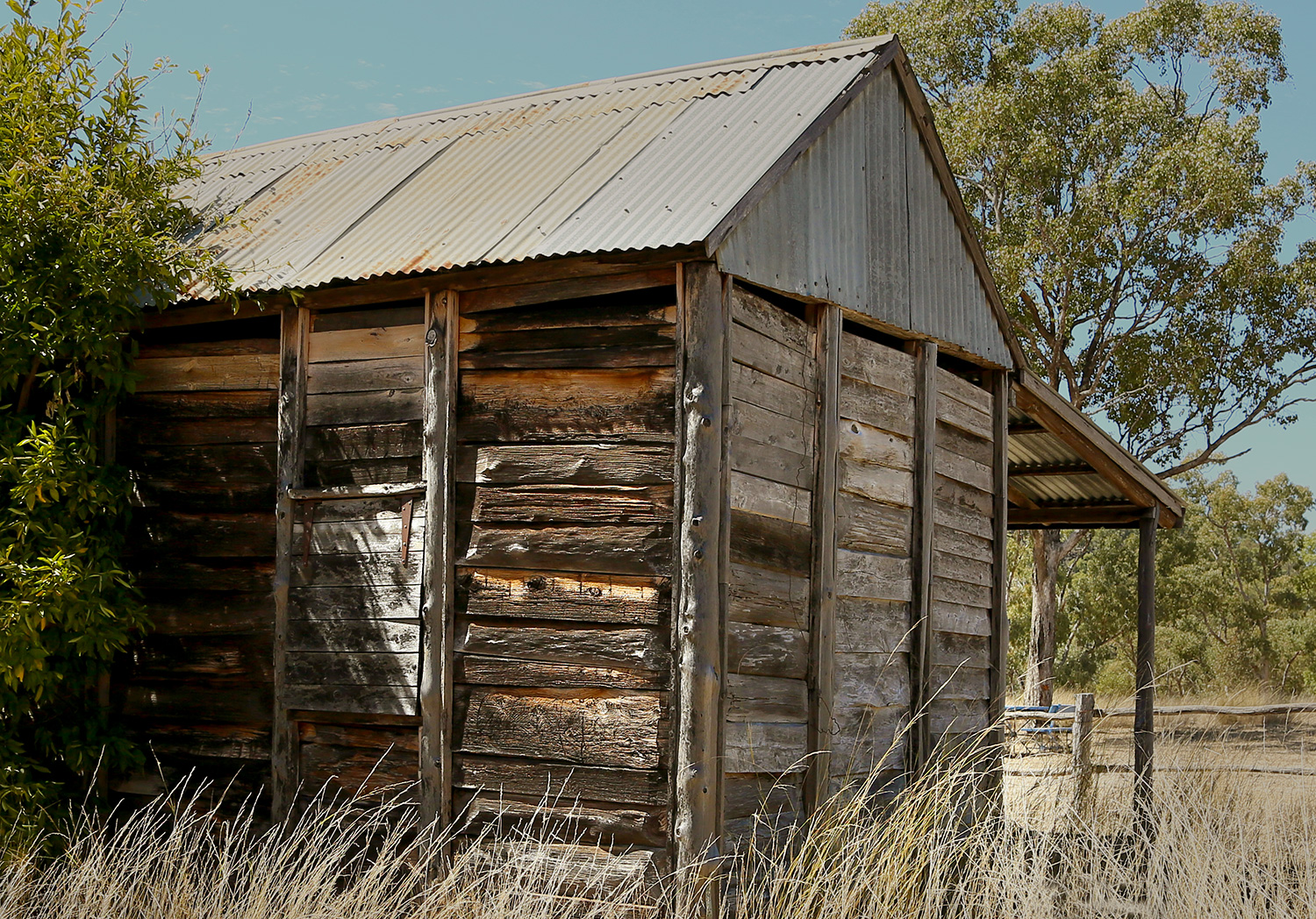
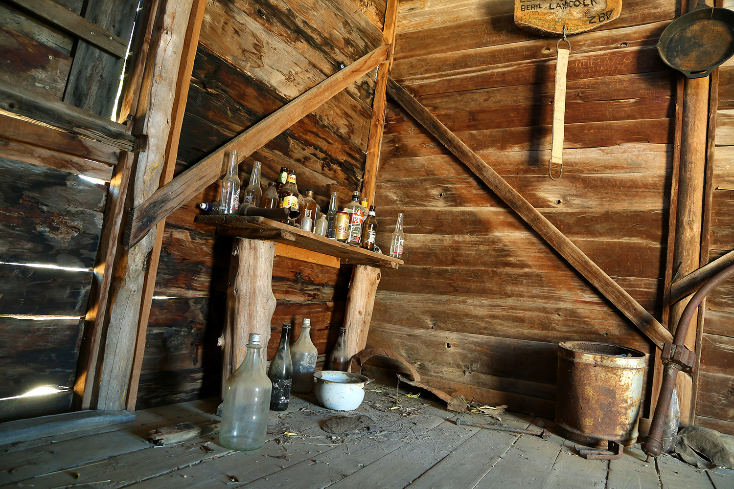
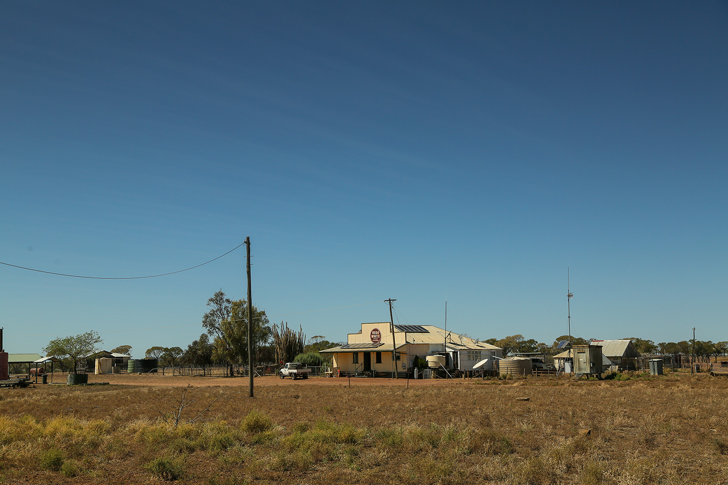
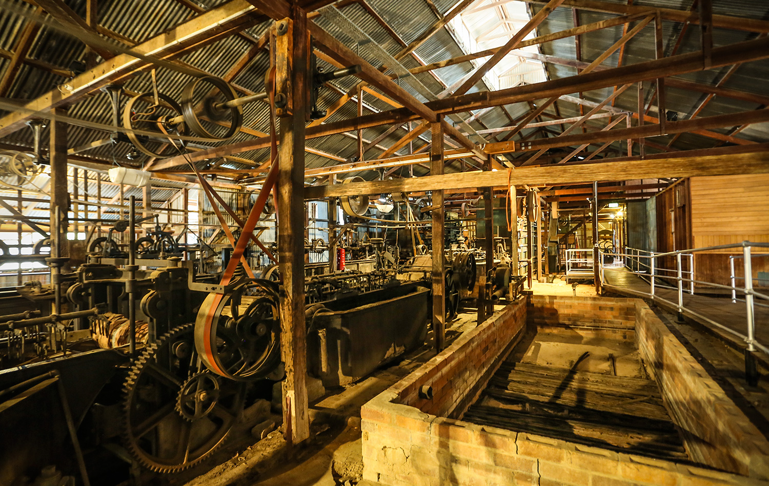
Driving down the New England Highway there are some very prosperous towns and others in slow decline. Back when these towns were established, being a days ride from the next town guaranteed their future. Today they are quickly passed through and forgotten. Here are the remnants of a few of them.

snow8641 snow8643 snow8664

snow9309

Coolah Tops is a great National Park with sweeping views across the Liverpool Plains. I have never seen the country so green and cant believe the government would consider allowing a coal mine in, what must be some of the worlds best agricultural land.

snow8678 snow8689 snow8692 snow8702 snow8752 Falls near Sofala

snow8821
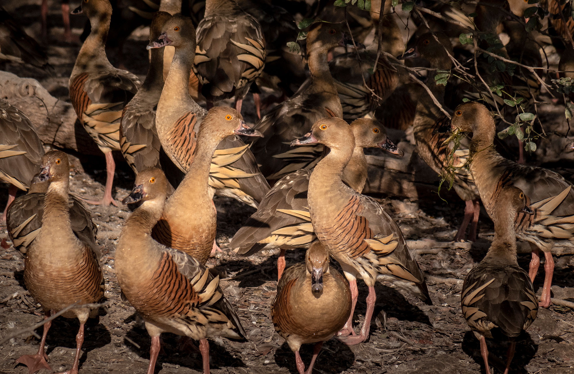
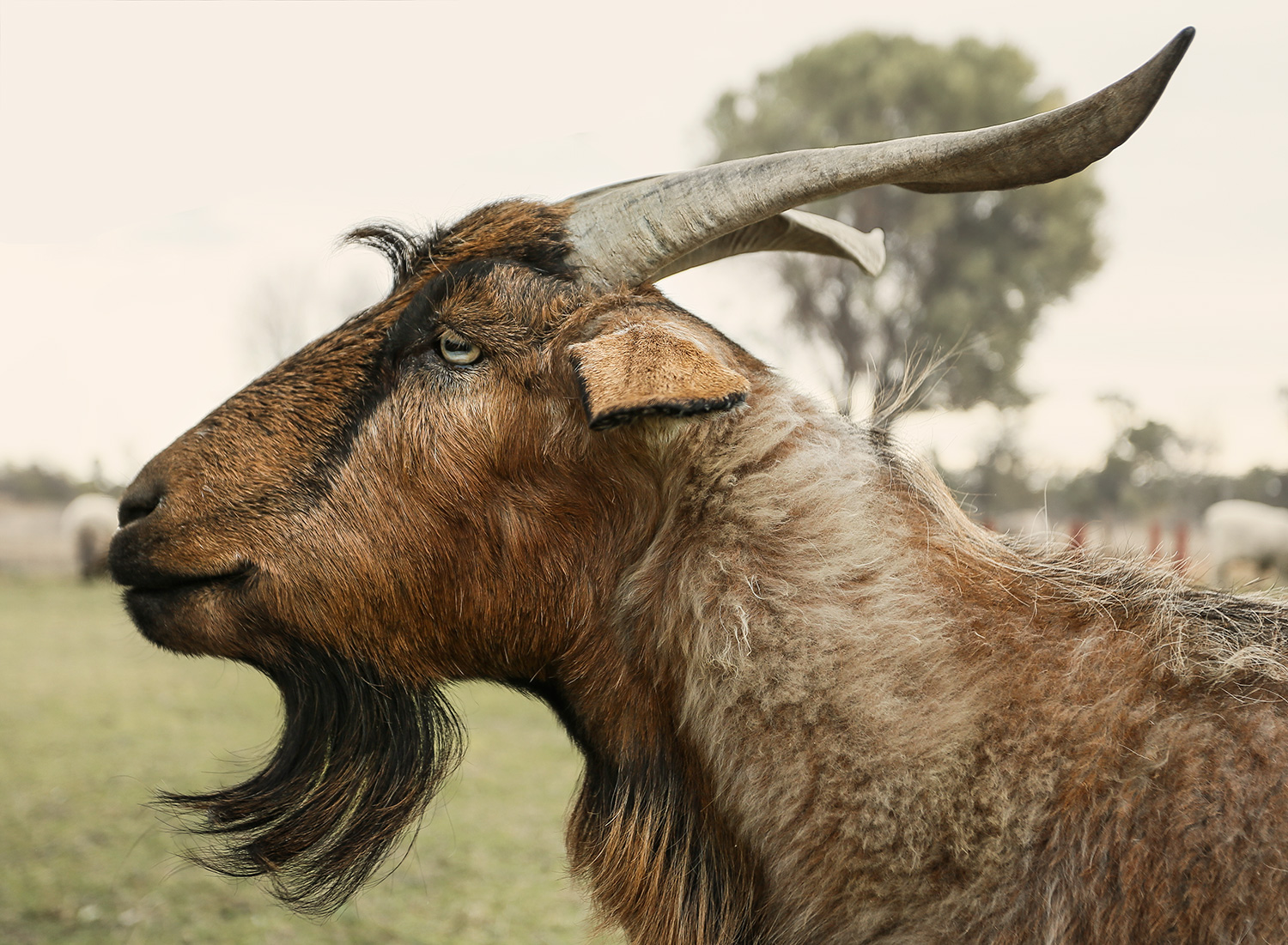
This guy thought sticking his head under a rock made him invisible.

snow8876

snow8928sm


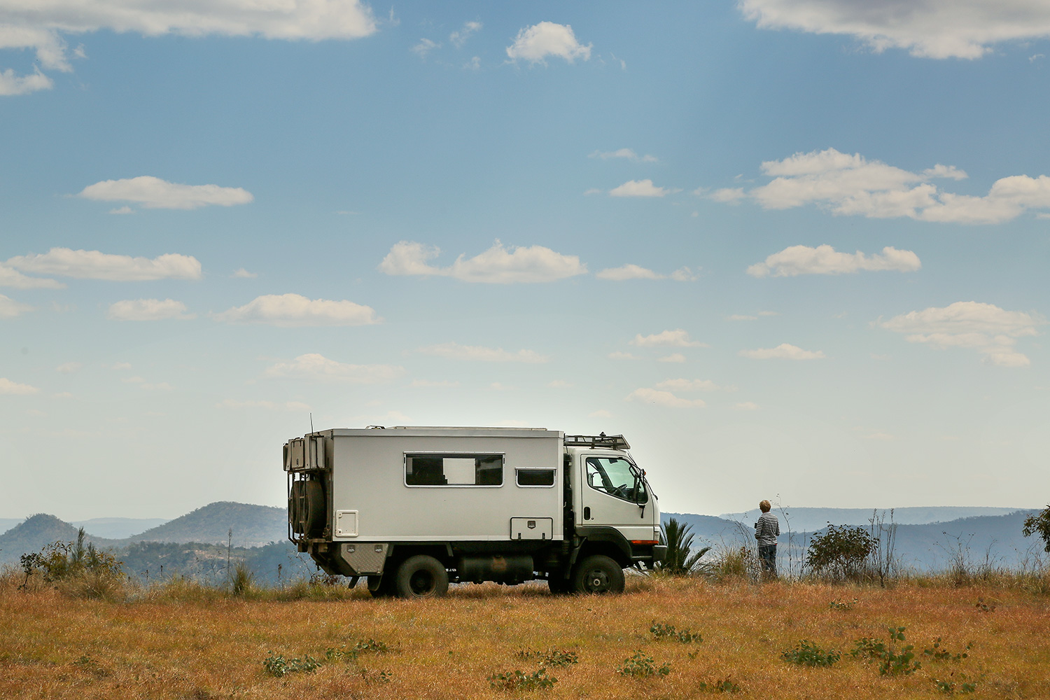
We left Canberra and headed out through Brindabella to join the top end of the Long Plain Road. We were told the road was closed in winter due to snow, then re opened each October.

We drove in to find a locked gate leading to the National Park. As we were about to drive back a farmer, whose property the road runs through, turned up. After chatting for a while we were about to head off and drive the long way around when he kindly offered to unlock the gate and let us through.

Twenty kilometres down the track we were stopped by a fallen tree. Not being able to go back through the locked gate and unable to move the tree, our only option was to somehow get over it.

We built long ramps of logs and rocks to give us plenty of clearance. Unfortunately, as we descended the ramp the right hand front wheel sunk into the soft ground, hanging us up on the log. After four hours of jacking, packing and digging, all we managed to do was sink deeper into the soft ground.

truck-on-log


It was getting dark when we gave up digging so we spent an uncomfortable night camped at thirty degrees.

dsc00411

The ground was too soft for us to lift the heavy truck so, in the morning, we contacted the National Park Office by satellite phone and explained our situation. They were fantastic and had a ranger up there with a chainsaw within a couple of hours.

As it turned out, National Parks were sending a tractor up to clear any fallen trees later that day. If only we had known. We could have saved 4 hours of hard work and camped on level ground! cutlogsnow9082 Coolamine Homestead was built in the late 1800’s when they used to run horses and cattle in the high country.

Today the cattle have all but disappeared but wild brumbies are breeding up.

snow9112 snow9116 snow9132 I spotted this mare laying on the ground way off in the bush above the plains. When I walked up I discovered she had died giving birth. Her head was resting on a log and her eyes were still open, looking out across the plains.

snow9138

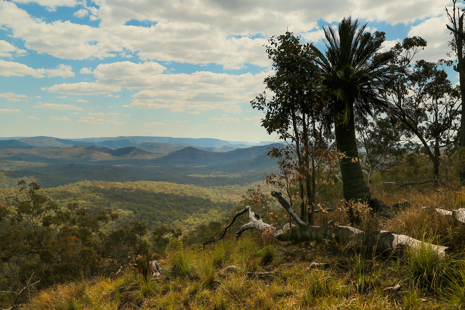
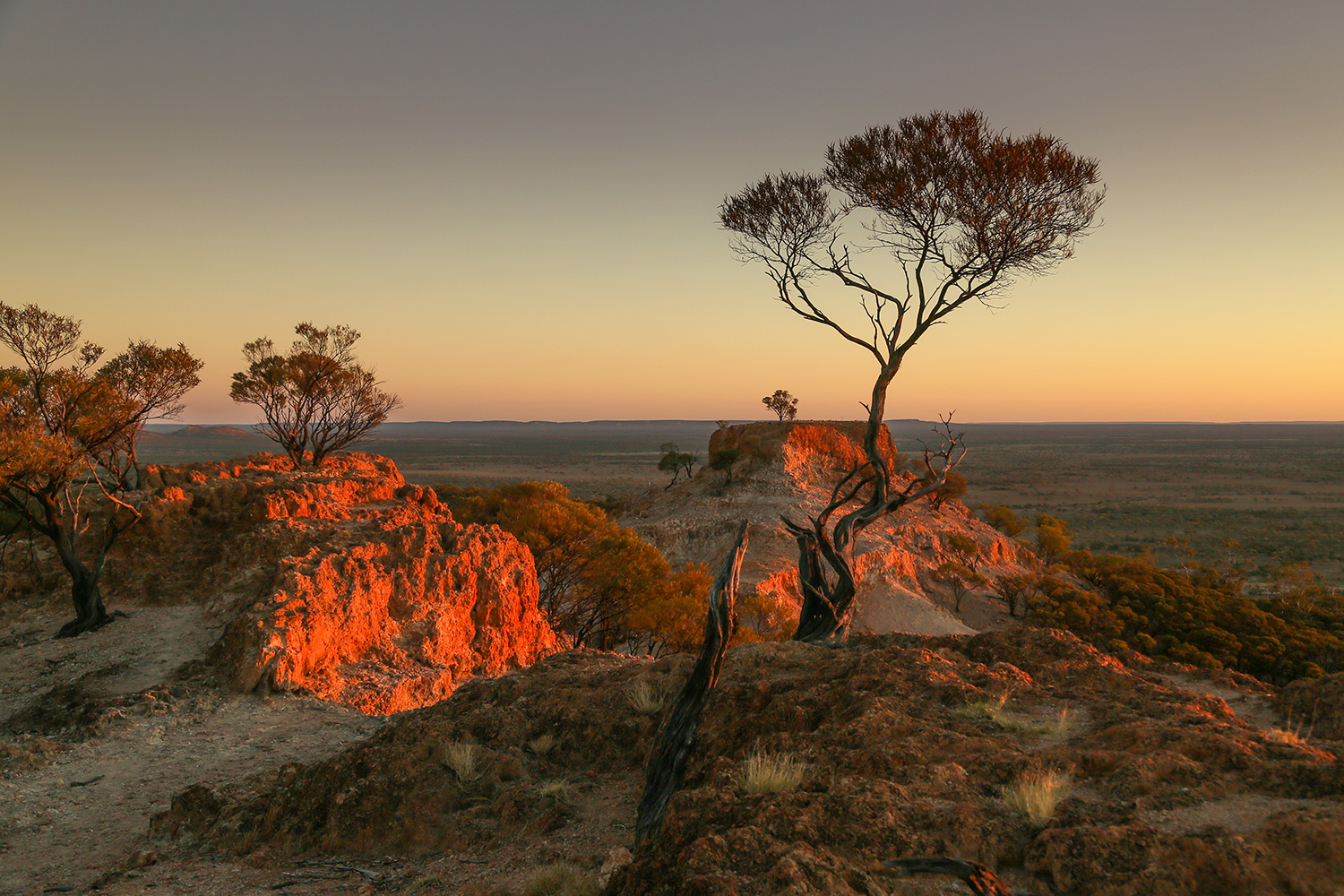
The Kosciuszko High country is stark and beautiful, and the weather always unpredictable. Overnight temperatures were below freezing and, in spite of the sun, seven or eight degrees was as warm as the days would get – and this was late spring!

snow9202

UP THE STRZELECKI

Leaving Arkaroola we headed north along the Strzelecki track. It skirts the Strzelecki, Simpson and Sturt’s Stony Deserts. Most of the track was in good condition, but very dusty, which didn’t bother us much, since there was no traffic.

89 (1)

88 (1)North Mulga Station – a long way from everywhere!

103Sturt’s Stony Desert

114Santos manage to suck oil out of all this dry sand.

90 (1)In 2010 this rig and all the others in the lower Strzelecki sat in 2 meters of water for the best part of 12 months. It’s hard to imagine that volume of water spread out over this incredibly flat land.

118These cattle must live on dirt and rocks – there doesn’t seem to be anything else to eat.


We spent a night at Innaminka on Coopers Creek, then wound our way over a slow track full of bad corrugations, washouts and bull dust. This took us to Coongie Lakes – a strange sight after winding over desert sandhills. The lake is massive and supports all sorts of birdlife

44

104

115

91Caspian Tern

101Corellas

102Pair of Grass Parrots

97

Serious looking Willy Wagtail

92 (1)Dingos howled most nights but they are very cautious and hard to see. I managed to get a photo of this guy early one morning.

ARCHITECTURE

These are some of the best examples of bush architecture we encountered along the way.

77Windorah – Once the old court house, now a comfortable abode

111Dynevor Downs shearing shed – like much of western Queensland wild dogs have forced a change from sheep to cattle, so this once mighty shed is in decay.

125 Yowah Qld – Corrugated Iron Paradise

124 Beltana SA – What cant you do with corrugated iron?

123 Maree SA – simple but effective

122Warrego Hwy – This old place has been added to and extended over the years – sadly, now abandoned and slowly disintegrating.


FLINDERS RANGES

From Maree we headed south into the Flinders Ranges via the ruins of Farina and the soon to be abandoned town of Leigh Creek.
The Flinders Ranges contain some of Australia’s most spectacular landscape. We zig zagged our way from the south, back and forth up through the ranges until we reached Arkaroola in the north.

© John Lovett 2016
Farina chicken run

© John Lovett 2016The country surrounding the ranges is flat, dry and vast.

© John Lovett 2016This distorted grass tree looks almost as old as the country surrounding it.

© John Lovett 2016Camped in a ring of ancient mountains

© John Lovett 2016Walking in these ranges is compelling. You can’t help walking to the top of the next hill or exploring the next stony outcrop.

© John Lovett 2016Beautiful colors, textures and shapes are everywhere.

© John Lovett 2016 © John Lovett 2016 Watched by wedgetails.

© John Lovett 2016 © John Lovett 2016

© John Lovett 2016

The Arkaroola Ridgetop Tour is something not to be missed. Almost 5 hours exploring some of the wildest four wheel drive tracks and gazing over the most spectacular views I have ever seen. These landcruisers get just 2000 kilometers from a set of tyres!

© John Lovett 2016 © John Lovett 2016 © John Lovett 2016

The Yellow Footed Rock Wallaby makes it’s home in some of the remote parts of Arkaroola.

© John Lovett 2016 © John Lovett 2016 © John Lovett 2016    © John Lovett 2016 © John Lovett 2016 © John Lovett 2016 © John Lovett 2016  © John Lovett 2016 © John Lovett 2016 © John Lovett 2016 Wild white horses along the track into Arkaroola

© John Lovett 2016

© John Lovett 2016

© John Lovett 2016Early morning Drink. This guy was sharing a tiny, cereal bowl sized waterhole with half a dozen of his mates and a couple of noisy Galahs.

BIRDSVILLE TO LAKE EYRE

Lake Eyre rarely contains water, so hearing of rising levels and heavy flow in from the north, we decided to drive out and have a look. We plodded our way slowly out to Birdsville then headed south along the Birdsville track

© John Lovett 2016Birdsville Track – dry and flat

© John Lovett 2016 Goanna Feasting

© John Lovett 2016Vegetation in this area is sparse but interesting. Mostly Saltbush, Mulga and Desert Oak.

© John Lovett 2016

Early settlers along the Birdsville Track lived a hard life. This is the grave of the two youngest Scobie children who died of pneumonia in the 1890’s.

© John Lovett 2016

We called in to Etadunna Station and picked up a key and directions to one of the large lakes, already full of water, to the North of lake Eyre.

© John Lovett 2016

A slow trip through the sand dunes finally brought us out at a huge lake filled with water and surrounded by a crust of white salt. A strange sight in the middle of a desert.


© John Lovett 2016 © John Lovett 2016

© John Lovett 2016

There are some interesting old relics scattered along the Birdsville Track. I’d love to know the stories behind them.

We continued South to Maree – a sleepy little town with a Pub, “Yacht Club” and remnants of the old Ghan Railway Line. Maree marks the southern end of the Birdsville Track and is the best access point to Lake Eyre. We obtained maps and information from the Yacht Club and headed out to see the Lake.

© John Lovett 2016 © John Lovett 2016 Old Ghan Railway Bridge

© John Lovett 2016Remnants of a railway siding and full moon.

We camped on a waterhole at Muloorina Station and drove out to Lake Eyre South, across the Goyder Channel and on to, a still dry, Lake Eyre North. It’s an amazing sight to see a brilliant white salt pan disappear over the horizon. As you walk out into the lake the sand dunes begin to disappear and all you can see is blue sky and white salt.

© John Lovett 2016 © John Lovett 2016

© John Lovett 2016

A couple of days at Muloorina waterhole gave us a chance to catch up on some washing and photograph some of the birdlife.

© John Lovett 2016 © John Lovett 2016© John Lovett 2016 © John Lovett 2016© John Lovett 2016 48 © John Lovett 2016 © John Lovett 2016

Muloorina waterhole is fed by an artesian bore. Boiling hot water bubbles up and creates a steamy mist early in the morning. By the time it reaches the waterhole it has cooled enough to support fish and yabbies.

SOUTH THROUGH LIMMEN

Following the road east from Mataranka out to Roper Bar brings you into the top of Limmen National Park. The Northern region of the park is popular with Barramundi fishermen, but heading south along a badly corrugated road towards Cape Crawford brings you to Butterfly Gorge and a number of areas dotted with strange sandstone formations.   xrNT__2951
Butterfly Gorge (minus waterfall at end of dry season)
xrNT__2978
This little Azure Kingfisher spent a lot of time patiently watching the ever diminishing waterhole for fish.
xrNT__3024
Pillars of sculpted rock.
xrNT__3027
xrNT__3135
Heading south east, we camped at the Ayrshire Hills. Another spectacularly weathered landscape 70kms out of Winton.
xNT__3166

xNT__0506xrNT__3145 xrNT__3148

xNT__3196

xrNT__3202


xrNT__3174


xrNT__3181 xrNT__3205